Distance to and from Alexandria, Tennessee
Alexandria, TN 37012
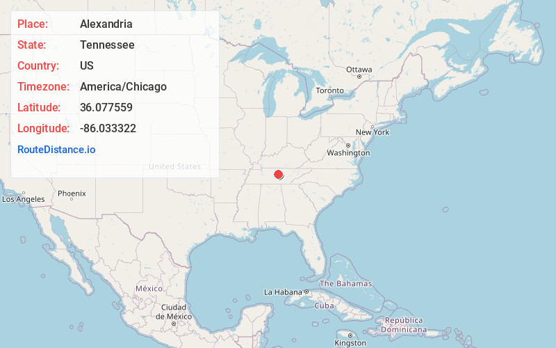
Alexandria
Tennessee
US
America/Chicago
Location Information
-
Full AddressAlexandria, TN 37012
-
Coordinates36.0775587, -86.0333222
-
LocationAlexandria , Tennessee , US
-
TimezoneAmerica/Chicago
-
Current Local Time12:25:58 PM America/ChicagoSaturday, May 3, 2025
-
Page Views0
Directions to Nearest Cities
About Alexandria
Alexandria is a town in DeKalb County, Tennessee, United States. The population was 981 at the 2020 census.


Nearby Places
Found 10 places within 50 miles

Watertown
5.7 mi
9.2 km
Watertown, TN 37184
Get directions

Gordonsville
8.8 mi
14.2 km
Gordonsville, TN 38563
Get directions

South Carthage
12.2 mi
19.6 km
South Carthage, TN
Get directions

Carthage
12.9 mi
20.8 km
Carthage, TN 37030
Get directions

Smithville
14.7 mi
23.7 km
Smithville, TN 37166
Get directions

Lebanon
17.0 mi
27.4 km
Lebanon, TN
Get directions

Woodbury
17.4 mi
28.0 km
Woodbury, TN 37190
Get directions
Gladeville
21.5 mi
34.6 km
Gladeville, TN
Get directions

Baxter
22.4 mi
36.0 km
Baxter, TN
Get directions

Hartsville
22.9 mi
36.9 km
Hartsville, TN 37074
Get directions
Watertown
5.7 mi
9.2 km
Watertown, TN 37184
Gordonsville
8.8 mi
14.2 km
Gordonsville, TN 38563
South Carthage
12.2 mi
19.6 km
South Carthage, TN
Carthage
12.9 mi
20.8 km
Carthage, TN 37030
Smithville
14.7 mi
23.7 km
Smithville, TN 37166
Lebanon
17.0 mi
27.4 km
Lebanon, TN
Woodbury
17.4 mi
28.0 km
Woodbury, TN 37190
Gladeville
21.5 mi
34.6 km
Gladeville, TN
Baxter
22.4 mi
36.0 km
Baxter, TN
Hartsville
22.9 mi
36.9 km
Hartsville, TN 37074
Location Links
Local Weather
Weather Information
Coming soon!
Location Map
Static map view of Alexandria, Tennessee
Browse Places by Distance
Places within specific distances from Alexandria
Short Distances
Long Distances
Click any distance to see all places within that range from Alexandria. Distances shown in miles (1 mile ≈ 1.61 kilometers).