Distance to and from Alexandria International Airport, Louisiana
Alexandria International Airport (AEX), 1100 Frank Andrews Blvd, Alexandria, LA 71303
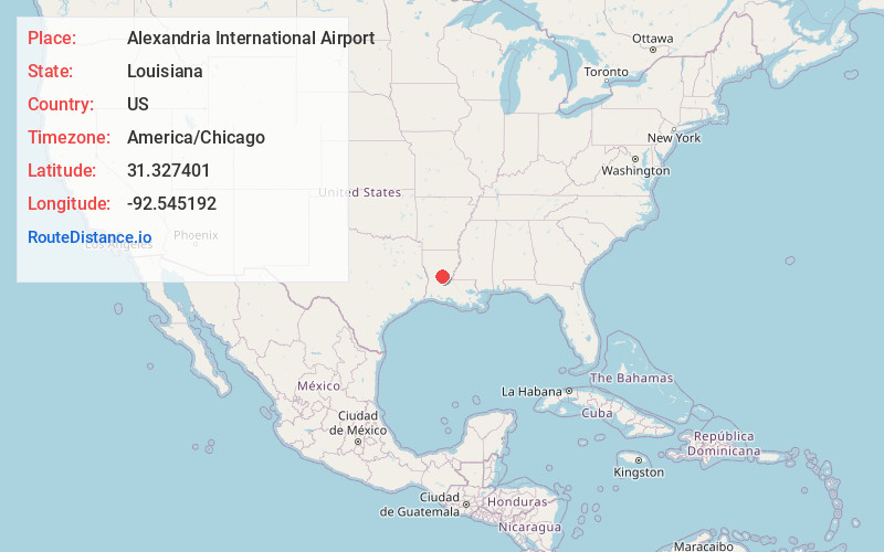
Alexandria
Louisiana
US
America/Chicago
Location Information
-
Full AddressAlexandria International Airport (AEX), 1100 Frank Andrews Blvd, Alexandria, LA 71303
-
Coordinates31.3274006, -92.5451921
-
Street1100 Frank Andrews Blvd
-
LocationAlexandria , Louisiana , US
-
TimezoneAmerica/Chicago
-
Current Local Time4:25:10 PM America/ChicagoSaturday, May 3, 2025
-
Website
-
Page Views0
Directions to Nearest Cities


Nearby Places
Found 10 places within 50 miles

Weil
1.4 mi
2.3 km
Weil, LA 71303
Get directions
Barrett
3.3 mi
5.3 km
Barrett, LA 71360
Get directions
Rapides
3.5 mi
5.6 km
Rapides, LA 71409
Get directions
Sieps
5.0 mi
8.0 km
Sieps, Alexandria, LA 71301
Get directions
Alfalfa
5.2 mi
8.4 km
Alfalfa, LA 71409
Get directions
Fort Buhlow
5.6 mi
9.0 km
Fort Buhlow, Pineville, LA 71360
Get directions

Alexandria
6.0 mi
9.7 km
Alexandria, LA
Get directions
McNutt
6.1 mi
9.8 km
McNutt, LA 71409
Get directions

Pineville
6.6 mi
10.6 km
Pineville, LA
Get directions
Timber Trails
6.6 mi
10.6 km
Timber Trails, LA 71360
Get directions
Weil
1.4 mi
2.3 km
Weil, LA 71303
Barrett
3.3 mi
5.3 km
Barrett, LA 71360
Rapides
3.5 mi
5.6 km
Rapides, LA 71409
Sieps
5.0 mi
8.0 km
Sieps, Alexandria, LA 71301
Alfalfa
5.2 mi
8.4 km
Alfalfa, LA 71409
Fort Buhlow
5.6 mi
9.0 km
Fort Buhlow, Pineville, LA 71360
Alexandria
6.0 mi
9.7 km
Alexandria, LA
McNutt
6.1 mi
9.8 km
McNutt, LA 71409
Pineville
6.6 mi
10.6 km
Pineville, LA
Timber Trails
6.6 mi
10.6 km
Timber Trails, LA 71360
Location Links
Local Weather
Weather Information
Coming soon!
Location Map
Static map view of Alexandria International Airport, Louisiana
Browse Places by Distance
Places within specific distances from Alexandria International Airport
Short Distances
Long Distances
Click any distance to see all places within that range from Alexandria International Airport. Distances shown in miles (1 mile ≈ 1.61 kilometers).