Distance to and from Alexandria, Nebraska
Alexandria, NE 68303
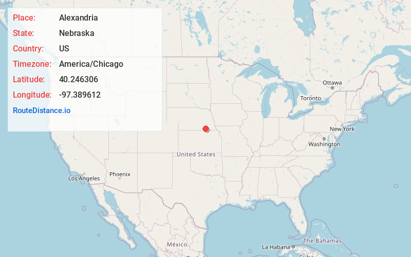
Alexandria
Nebraska
US
America/Chicago
Location Information
-
Full AddressAlexandria, NE 68303
-
Coordinates40.2463056, -97.3896117
-
LocationAlexandria , Nebraska , US
-
TimezoneAmerica/Chicago
-
Current Local Time4:30:53 PM America/ChicagoSaturday, May 3, 2025
-
Page Views0
Directions to Nearest Cities
About Alexandria
Alexandria is a village in Thayer County, Nebraska, United States. The population was 146 at the 2020 census.
Nearby Places
Found 10 places within 50 miles

Daykin
7.1 mi
11.4 km
Daykin, NE
Get directions

Bruning
11.2 mi
18.0 km
Bruning, NE 68322
Get directions

Hebron
11.7 mi
18.8 km
Hebron, NE 68370
Get directions

Ohiowa
12.0 mi
19.3 km
Ohiowa, NE 68416
Get directions
Tobias
12.2 mi
19.6 km
Tobias, NE 68453
Get directions

Fairbury
13.0 mi
20.9 km
Fairbury, NE 68352
Get directions
Western
14.3 mi
23.0 km
Western, NE 68464
Get directions
Carleton
15.7 mi
25.3 km
Carleton, NE 68326
Get directions

Jansen
16.7 mi
26.9 km
Jansen, NE
Get directions

Milligan
17.6 mi
28.3 km
Milligan, NE 68406
Get directions
Daykin
7.1 mi
11.4 km
Daykin, NE
Bruning
11.2 mi
18.0 km
Bruning, NE 68322
Hebron
11.7 mi
18.8 km
Hebron, NE 68370
Ohiowa
12.0 mi
19.3 km
Ohiowa, NE 68416
Tobias
12.2 mi
19.6 km
Tobias, NE 68453
Fairbury
13.0 mi
20.9 km
Fairbury, NE 68352
Western
14.3 mi
23.0 km
Western, NE 68464
Carleton
15.7 mi
25.3 km
Carleton, NE 68326
Jansen
16.7 mi
26.9 km
Jansen, NE
Milligan
17.6 mi
28.3 km
Milligan, NE 68406
Location Links
Local Weather
Weather Information
Coming soon!
Location Map
Static map view of Alexandria, Nebraska
Browse Places by Distance
Places within specific distances from Alexandria
Short Distances
Long Distances
Click any distance to see all places within that range from Alexandria. Distances shown in miles (1 mile ≈ 1.61 kilometers).