Distance to and from Alexandria, Alabama
Alexandria, AL
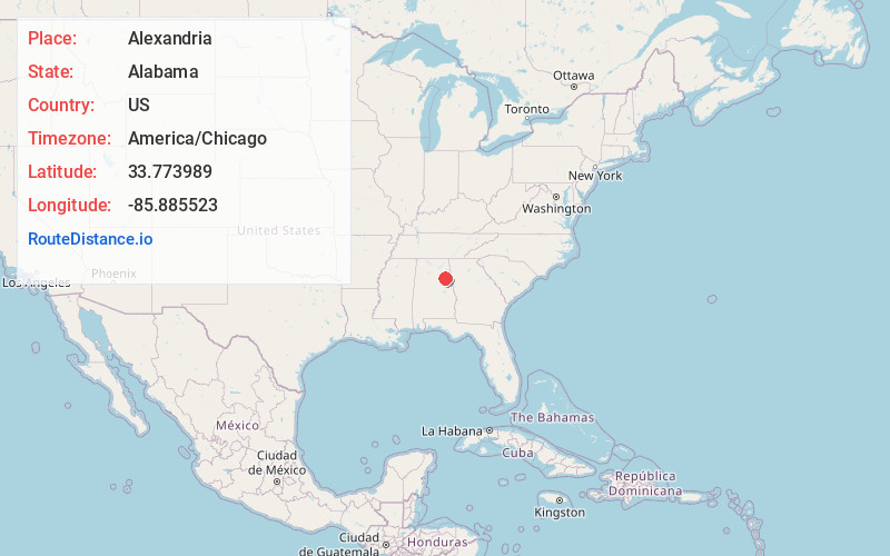
Alexandria
Alabama
US
America/Chicago
Location Information
-
Full AddressAlexandria, AL
-
Coordinates33.7739892, -85.885523
-
LocationAlexandria , Alabama , US
-
TimezoneAmerica/Chicago
-
Current Local Time6:07:41 PM America/ChicagoSaturday, May 3, 2025
-
Page Views0
Directions to Nearest Cities
About Alexandria
Alexandria is a census-designated place and unincorporated community in Calhoun County, Alabama, United States. At the 2020 census, the population was 4,032. It is included in the Anniston–Oxford, Alabama Metropolitan Statistical Area.
Nearby Places
Found 10 places within 50 miles

Saks
5.8 mi
9.3 km
Saks, AL
Get directions

Jacksonville
7.6 mi
12.2 km
Jacksonville, AL 36265
Get directions

Anniston
8.5 mi
13.7 km
Anniston, AL
Get directions

Oxford
11.4 mi
18.3 km
Oxford, AL
Get directions

Glencoe
12.9 mi
20.8 km
Glencoe, AL
Get directions

Southside
13.0 mi
20.9 km
Southside, AL
Get directions

Rainbow City
15.4 mi
24.8 km
Rainbow City, AL 35906
Get directions

Hokes Bluff
15.5 mi
24.9 km
Hokes Bluff, AL
Get directions

Lincoln
17.4 mi
28.0 km
Lincoln, AL
Get directions

Gadsden
18.0 mi
29.0 km
Gadsden, AL
Get directions
Saks
5.8 mi
9.3 km
Saks, AL
Jacksonville
7.6 mi
12.2 km
Jacksonville, AL 36265
Anniston
8.5 mi
13.7 km
Anniston, AL
Oxford
11.4 mi
18.3 km
Oxford, AL
Glencoe
12.9 mi
20.8 km
Glencoe, AL
Southside
13.0 mi
20.9 km
Southside, AL
Rainbow City
15.4 mi
24.8 km
Rainbow City, AL 35906
Hokes Bluff
15.5 mi
24.9 km
Hokes Bluff, AL
Lincoln
17.4 mi
28.0 km
Lincoln, AL
Gadsden
18.0 mi
29.0 km
Gadsden, AL
Location Links
Local Weather
Weather Information
Coming soon!
Location Map
Static map view of Alexandria, Alabama
Browse Places by Distance
Places within specific distances from Alexandria
Short Distances
Long Distances
Click any distance to see all places within that range from Alexandria. Distances shown in miles (1 mile ≈ 1.61 kilometers).