Distance to and from Alexandria, Minnesota
Alexandria, MN 56308
Alexandria
Minnesota
US
America/Chicago
Location Information
-
Full AddressAlexandria, MN 56308
-
Coordinates45.8848164, -95.3776663
-
LocationAlexandria , Minnesota , US
-
TimezoneAmerica/Chicago
-
Current Local Time3:37:39 PM America/ChicagoSaturday, May 3, 2025
-
Website
-
Page Views0
About Alexandria
Alexandria is a city in and the county seat of Douglas County, Minnesota, United States. The population was 14,335 as of the 2020 census. I-94 passes through Alexandria, along with Minnesota State Highways 27 and 29. It is ten miles south of Lake Carlos State Park.


Location Links
Local Weather
Weather Information
Coming soon!
Location Map
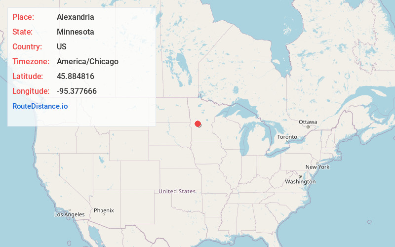
Static map view of Alexandria, Minnesota
Browse Places by Distance
Places within specific distances from Alexandria
Short Distances
Long Distances
Click any distance to see all places within that range from Alexandria. Distances shown in miles (1 mile ≈ 1.61 kilometers).