Distance to Alexis, Illinois

Calculating Your Route
Just a moment while we process your request...
Location Information
-
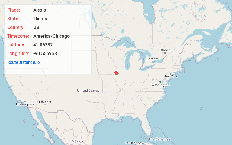
Full AddressAlexis, IL 61412
-
Coordinates41.0633703, -90.5559675
-
LocationAlexis , Illinois , US
-
TimezoneAmerica/Chicago
-
Current Local Time6:13:19 PM America/ChicagoTuesday, June 17, 2025
-
Page Views0
About Alexis
Alexis is a village in Mercer and Warren counties in Illinois, United States. The population was 793 at the 2020 census.
The Mercer County portion is part of the Davenport–Moline–Rock Island, IA-IL Metropolitan Statistical Area.


Nearby Places
Found 10 places within 50 miles

Viola
9.8 mi
15.8 km
Viola, IL 61486
Get directions

Monmouth
11.5 mi
18.5 km
Monmouth, IL 61462
Get directions

Galesburg
12.5 mi
20.1 km
Galesburg, IL 61401
Get directions

Alpha
12.7 mi
20.4 km
Alpha, IL 61413
Get directions

Aledo
13.8 mi
22.2 km
Aledo, IL 61231
Get directions

Matherville
13.8 mi
22.2 km
Matherville, IL 61231
Get directions

Wataga
14.6 mi
23.5 km
Wataga, IL 61488
Get directions

Woodhull
14.8 mi
23.8 km
Woodhull, IL
Get directions
Kirkwood
16.9 mi
27.2 km
Kirkwood, IL 61447
Get directions
Oneida
17.2 mi
27.7 km
Oneida, IL 61467
Get directions
Location Links
Local Weather
Weather Information
Coming soon!
Location Map
Static map view of Alexis, Illinois
Browse Places by Distance
Places within specific distances from Alexis
Short Distances
Long Distances
Click any distance to see all places within that range from Alexis. Distances shown in miles (1 mile ≈ 1.61 kilometers).