Distance to Alfarata, Pennsylvania

Calculating Your Route
Just a moment while we process your request...
Location Information
-
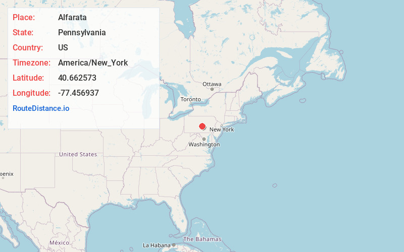
Full AddressAlfarata, PA
-
Coordinates40.6625726, -77.4569371
-
LocationAlfarata , Pennsylvania , US
-
TimezoneAmerica/New_York
-
Current Local Time9:50:58 AM America/New_YorkSaturday, June 14, 2025
-
Page Views0
About Alfarata
Alfarata is a census-designated place located in Decatur Township, Mifflin County in the state of Pennsylvania, United States. It is located along U.S. Route 522 in eastern Mifflin County. As of the 2010 census, the population was 149 residents.
Nearby Places
Found 10 places within 50 miles

Decatur
2.2 mi
3.5 km
Decatur, PA 17841
Get directions
Maitland
3.3 mi
5.3 km
Maitland, PA 17044
Get directions
Fermanagh Township
4.7 mi
7.6 km
Fermanagh Township, PA
Get directions

Burnham
6.1 mi
9.8 km
Burnham, PA
Get directions

Siglerville
6.6 mi
10.6 km
Siglerville, PA 17063
Get directions

Yeagertown
6.6 mi
10.6 km
Yeagertown, PA 17099
Get directions
Mifflin
7.0 mi
11.3 km
Mifflin, PA
Get directions

Mifflintown
7.0 mi
11.3 km
Mifflintown, PA 17059
Get directions

Reedsville
7.3 mi
11.7 km
Reedsville, PA 17084
Get directions

Lewistown
7.4 mi
11.9 km
Lewistown, PA 17044
Get directions
Location Links
Local Weather
Weather Information
Coming soon!
Location Map
Static map view of Alfarata, Pennsylvania
Browse Places by Distance
Places within specific distances from Alfarata
Short Distances
Long Distances
Click any distance to see all places within that range from Alfarata. Distances shown in miles (1 mile ≈ 1.61 kilometers).