Distance to Alford, Massachusetts

Calculating Your Route
Just a moment while we process your request...
Location Information
-
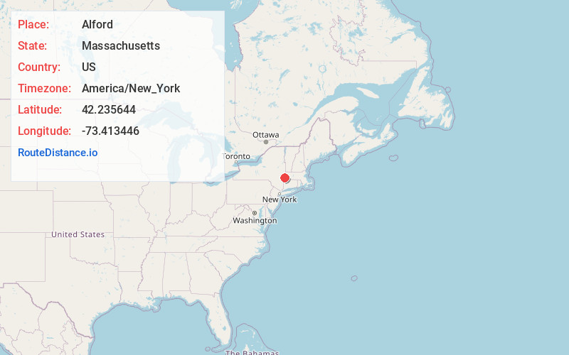
Full AddressAlford, MA
-
Coordinates42.2356442, -73.4134456
-
LocationAlford , Massachusetts , US
-
TimezoneAmerica/New_York
-
Current Local Time8:38:01 PM America/New_YorkTuesday, June 17, 2025
-
Website
-
Page Views0
About Alford
Alford is a town in Berkshire County, Massachusetts, United States. It is part of the Pittsfield, Massachusetts Metropolitan Statistical Area. The population was 486 at the 2020 census.

Nearby Places
Found 10 places within 50 miles

Great Barrington
3.8 mi
6.1 km
Great Barrington, MA
Get directions

Egremont
4.3 mi
6.9 km
Egremont, MA
Get directions

Stockbridge
6.0 mi
9.7 km
Stockbridge, MA
Get directions

Austerlitz
6.1 mi
9.8 km
Austerlitz, NY 12165
Get directions

Hillsdale
6.9 mi
11.1 km
Hillsdale, NY 12529
Get directions

West Stockbridge
7.2 mi
11.6 km
West Stockbridge, MA
Get directions

Sheffield
9.2 mi
14.8 km
Sheffield, MA
Get directions

Lee
9.7 mi
15.6 km
Lee, MA
Get directions

Richmond
9.8 mi
15.8 km
Richmond, MA
Get directions

Lenox
10.7 mi
17.2 km
Lenox, MA
Get directions
Location Links
Local Weather
Weather Information
Coming soon!
Location Map
Static map view of Alford, Massachusetts
Browse Places by Distance
Places within specific distances from Alford
Short Distances
Long Distances
Click any distance to see all places within that range from Alford. Distances shown in miles (1 mile ≈ 1.61 kilometers).