Distance to and from Alfordsville, North Carolina
Alfordsville, NC 28383
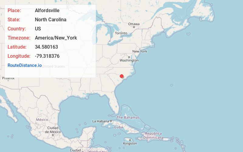
Alfordsville
North Carolina
US
America/New_York
Location Information
-
Full AddressAlfordsville, NC 28383
-
Coordinates34.5801626, -79.3183759
-
LocationAlfordsville , North Carolina , US
-
TimezoneAmerica/New_York
-
Current Local Time11:40:18 PM America/New_YorkFriday, May 2, 2025
-
Page Views0
Directions to Nearest Cities
Nearby Places
Found 10 places within 50 miles

Purvis
3.2 mi
5.1 km
Purvis, NC 28383
Get directions

Rowland
3.4 mi
5.5 km
Rowland, NC 28383
Get directions
Oakland Crossroads
3.9 mi
6.3 km
Oakland Crossroads, SC 29547
Get directions
Raemon
4.3 mi
6.9 km
Raemon, NC 28364
Get directions

Elrod
4.9 mi
7.9 km
Elrod, NC 28383
Get directions
Echo
6.0 mi
9.7 km
Echo, NC 28383
Get directions
Raynham
7.0 mi
11.3 km
Raynham, NC 28383
Get directions

Hamer
7.1 mi
11.4 km
Hamer, SC
Get directions
Cotton Valley
7.3 mi
11.7 km
Cotton Valley, SC 29547
Get directions
Stewart Crossroads
8.2 mi
13.2 km
Stewart Crossroads, NC 28383
Get directions
Purvis
3.2 mi
5.1 km
Purvis, NC 28383
Rowland
3.4 mi
5.5 km
Rowland, NC 28383
Oakland Crossroads
3.9 mi
6.3 km
Oakland Crossroads, SC 29547
Raemon
4.3 mi
6.9 km
Raemon, NC 28364
Elrod
4.9 mi
7.9 km
Elrod, NC 28383
Echo
6.0 mi
9.7 km
Echo, NC 28383
Raynham
7.0 mi
11.3 km
Raynham, NC 28383
Hamer
7.1 mi
11.4 km
Hamer, SC
Cotton Valley
7.3 mi
11.7 km
Cotton Valley, SC 29547
Stewart Crossroads
8.2 mi
13.2 km
Stewart Crossroads, NC 28383
Location Links
Local Weather
Weather Information
Coming soon!
Location Map
Static map view of Alfordsville, North Carolina
Browse Places by Distance
Places within specific distances from Alfordsville
Short Distances
Long Distances
Click any distance to see all places within that range from Alfordsville. Distances shown in miles (1 mile ≈ 1.61 kilometers).