Distance to Alger, Washington

Calculating Your Route
Just a moment while we process your request...
Location Information
-
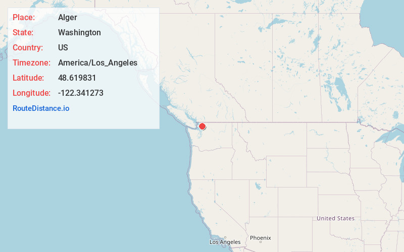
Full AddressAlger, WA
-
Coordinates48.6198313, -122.3412733
-
LocationAlger , Washington , US
-
TimezoneAmerica/Los_Angeles
-
Current Local Time4:01:34 PM America/Los_AngelesTuesday, June 17, 2025
-
Page Views0
About Alger
Alger is a census-designated place in Skagit County, Washington, United States. The population was 507 at the 2020 census. It is included in the Mount Vernon–Anacortes, Washington Metropolitan Statistical Area.
Alger is located along Old Highway 99 North Road.

Nearby Places
Found 10 places within 50 miles

Sudden Valley
7.1 mi
11.4 km
Sudden Valley, WA 98229
Get directions

Geneva
9.1 mi
14.6 km
Geneva, WA 98229
Get directions

Sedro-Woolley
9.3 mi
15.0 km
Sedro-Woolley, WA 98284
Get directions

Burlington
10.0 mi
16.1 km
Burlington, WA 98233
Get directions

Bellingham
11.1 mi
17.9 km
Bellingham, WA
Get directions

Bay View
11.3 mi
18.2 km
Bay View, WA 98273
Get directions

Clear Lake
11.8 mi
19.0 km
Clear Lake, WA
Get directions

Mount Vernon
13.8 mi
22.2 km
Mount Vernon, WA
Get directions

Lyman
14.3 mi
23.0 km
Lyman, WA
Get directions

Anacortes
14.5 mi
23.3 km
Anacortes, WA
Get directions
Location Links
Local Weather
Weather Information
Coming soon!
Location Map
Static map view of Alger, Washington
Browse Places by Distance
Places within specific distances from Alger
Short Distances
Long Distances
Click any distance to see all places within that range from Alger. Distances shown in miles (1 mile ≈ 1.61 kilometers).