Distance to Algerita, Texas

Calculating Your Route
Just a moment while we process your request...
Location Information
-
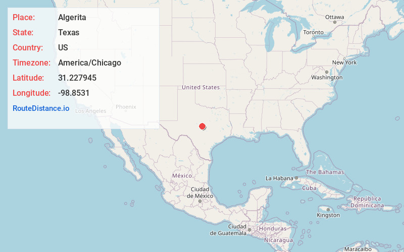
Full AddressAlgerita, TX 76877
-
Coordinates31.2279446, -98.8531003
-
LocationAlgerita , Texas , US
-
TimezoneAmerica/Chicago
-
Current Local Time11:10:15 PM America/ChicagoFriday, June 13, 2025
-
Page Views0
About Algerita
Algerita is an unincorporated community in San Saba County, in the U.S. state of Texas.
Nearby Places
Found 10 places within 50 miles

Richland Springs
6.1 mi
9.8 km
Richland Springs, TX 76871
Get directions

San Saba
8.3 mi
13.4 km
San Saba, TX 76877
Get directions

Holt
14.5 mi
23.3 km
Holt, TX 76871
Get directions
Chappel
20.5 mi
33.0 km
Chappel, TX 76877
Get directions

Rochelle
21.1 mi
34.0 km
Rochelle, TX
Get directions
Mercury
22.0 mi
35.4 km
Mercury, TX 76872
Get directions
Castor
22.5 mi
36.2 km
Castor, TX 76844
Get directions

Goldthwaite
22.6 mi
36.4 km
Goldthwaite, TX 76844
Get directions

Pontotoc
23.3 mi
37.5 km
Pontotoc, TX
Get directions

Voca
24.7 mi
39.8 km
Voca, TX 76887
Get directions
Location Links
Local Weather
Weather Information
Coming soon!
Location Map
Static map view of Algerita, Texas
Browse Places by Distance
Places within specific distances from Algerita
Short Distances
Long Distances
Click any distance to see all places within that range from Algerita. Distances shown in miles (1 mile ≈ 1.61 kilometers).