Distance to Algona, Iowa

Calculating Your Route
Just a moment while we process your request...
Location Information
-
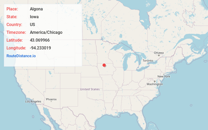
Full AddressAlgona, IA 50511
-
Coordinates43.0699663, -94.233019
-
LocationAlgona , Iowa , US
-
TimezoneAmerica/Chicago
-
Current Local Time6:40:38 PM America/ChicagoThursday, June 19, 2025
-
Website
-
Page Views0
About Algona
Algona is the county seat of Kossuth County, Iowa, United States. The population was 5,487 at the 2020 census. Ambrose A. Call State Park is located two miles southwest of the city.
Nearby Places
Found 6 places within 50 miles

Estherville
38.1 mi
61.3 km
Estherville, IA 51334
Get directions

Fort Dodge
39.7 mi
63.9 km
Fort Dodge, IA 50501
Get directions

Fairmont
41.8 mi
67.3 km
Fairmont, MN 56031
Get directions

Clear Lake
43.4 mi
69.8 km
Clear Lake, IA 50428
Get directions

Spencer
46.3 mi
74.5 km
Spencer, IA 51301
Get directions

Webster City
46.6 mi
75.0 km
Webster City, IA 50595
Get directions
Location Links
Local Weather
Weather Information
Coming soon!
Location Map
Static map view of Algona, Iowa
Browse Places by Distance
Places within specific distances from Algona
Short Distances
Long Distances
Click any distance to see all places within that range from Algona. Distances shown in miles (1 mile ≈ 1.61 kilometers).