Distance to Algonac, Michigan

Calculating Your Route
Just a moment while we process your request...
Location Information
-
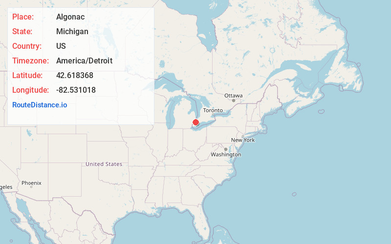
Full AddressAlgonac, MI 48001
-
Coordinates42.6183675, -82.531018
-
LocationAlgonac , Michigan , US
-
TimezoneAmerica/Detroit
-
Current Local Time5:18:08 AM America/DetroitWednesday, June 18, 2025
-
Page Views0
About Algonac
Algonac is a city in St. Clair County of the U.S. state of Michigan. The population was 4,196 at the 2020 census.
Incorporated as a village in 1867 and again as a city in 1967, Algonac is located at the southern end of the St. Clair River and contains a long boardwalk and riverfront park.


Nearby Places
Found 10 places within 50 miles

Pearl Beach
3.5 mi
5.6 km
Pearl Beach, MI 48001
Get directions

New Baltimore
11.3 mi
18.2 km
New Baltimore, MI 48047
Get directions

New Haven
15.7 mi
25.3 km
New Haven, MI 48048
Get directions

Richmond
17.4 mi
28.0 km
Richmond, MI
Get directions

Mt Clemens
17.7 mi
28.5 km
Mt Clemens, MI
Get directions

St Clair Shores
20.4 mi
32.8 km
St Clair Shores, MI
Get directions

Marysville
20.4 mi
32.8 km
Marysville, MI
Get directions

Fraser
22.0 mi
35.4 km
Fraser, MI 48026
Get directions

Roseville
22.3 mi
35.9 km
Roseville, MI 48066
Get directions

Grosse Pointe Farms
23.4 mi
37.7 km
Grosse Pointe Farms, MI
Get directions
Location Links
Local Weather
Weather Information
Coming soon!
Location Map
Static map view of Algonac, Michigan
Browse Places by Distance
Places within specific distances from Algonac
Short Distances
Long Distances
Click any distance to see all places within that range from Algonac. Distances shown in miles (1 mile ≈ 1.61 kilometers).