Distance to and from Alhambra, Illinois
Alhambra, IL 62001
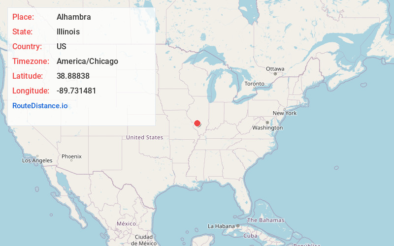
Alhambra
Illinois
US
America/Chicago
Location Information
-
Full AddressAlhambra, IL 62001
-
Coordinates38.88838, -89.7314813
-
LocationAlhambra , Illinois , US
-
TimezoneAmerica/Chicago
-
Current Local Time2:26:27 PM America/ChicagoSaturday, May 3, 2025
-
Page Views0
Directions to Nearest Cities
About Alhambra
Alhambra is a village in Madison County, Illinois, United States. The population was 622 at the 2020 census.
Alhambra is part of the Metro-East region of the St. Louis, MO-IL Metropolitan Statistical Area.


Nearby Places
Found 10 places within 50 miles

Livingston
5.7 mi
9.2 km
Livingston, IL
Get directions

Hamel
6.1 mi
9.8 km
Hamel, IL
Get directions

Worden
6.5 mi
10.5 km
Worden, IL 62097
Get directions

Marine
7.5 mi
12.1 km
Marine, IL 62061
Get directions

Staunton
9.1 mi
14.6 km
Staunton, IL 62088
Get directions

Highland
10.8 mi
17.4 km
Highland, IL 62249
Get directions

Pocahontas
11.1 mi
17.9 km
Pocahontas, IL 62275
Get directions

Holiday Shores
11.5 mi
18.5 km
Holiday Shores, IL
Get directions

St Jacob
12.2 mi
19.6 km
St Jacob, IL
Get directions

Mt Olive
12.7 mi
20.4 km
Mt Olive, IL 62069
Get directions
Livingston
5.7 mi
9.2 km
Livingston, IL
Hamel
6.1 mi
9.8 km
Hamel, IL
Worden
6.5 mi
10.5 km
Worden, IL 62097
Marine
7.5 mi
12.1 km
Marine, IL 62061
Staunton
9.1 mi
14.6 km
Staunton, IL 62088
Highland
10.8 mi
17.4 km
Highland, IL 62249
Pocahontas
11.1 mi
17.9 km
Pocahontas, IL 62275
Holiday Shores
11.5 mi
18.5 km
Holiday Shores, IL
St Jacob
12.2 mi
19.6 km
St Jacob, IL
Mt Olive
12.7 mi
20.4 km
Mt Olive, IL 62069
Location Links
Local Weather
Weather Information
Coming soon!
Location Map
Static map view of Alhambra, Illinois
Browse Places by Distance
Places within specific distances from Alhambra
Short Distances
Long Distances
Click any distance to see all places within that range from Alhambra. Distances shown in miles (1 mile ≈ 1.61 kilometers).