Distance to Alicia, Arkansas

Calculating Your Route
Just a moment while we process your request...
Location Information
-
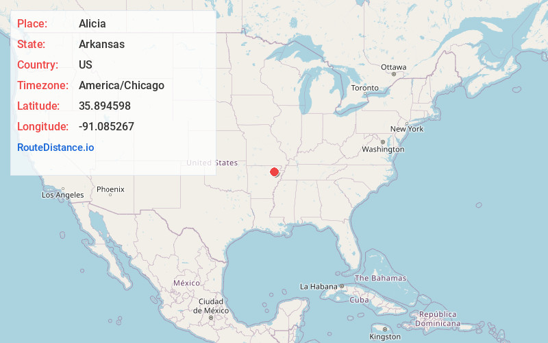
Full AddressAlicia, AR 72410
-
Coordinates35.8945979, -91.0852672
-
LocationAlicia , Arkansas , US
-
TimezoneAmerica/Chicago
-
Current Local Time6:15:01 PM America/ChicagoThursday, July 3, 2025
-
Page Views0
About Alicia
Alicia is a town in Lawrence County, Arkansas, United States. The population was 124 at the 2010 census.


Nearby Places
Found 10 places within 50 miles

Swifton
5.5 mi
8.9 km
Swifton, AR 72471
Get directions

Cash
10.8 mi
17.4 km
Cash, AR 72421
Get directions

Lynn
12.2 mi
19.6 km
Lynn, AR
Get directions
Hoxie
12.4 mi
20.0 km
Hoxie, AR
Get directions
Tuckerman
13.0 mi
20.9 km
Tuckerman, AR 72473
Get directions
Powhatan
13.1 mi
21.1 km
Powhatan, AR
Get directions
Portia
13.3 mi
21.4 km
Portia, AR
Get directions
Sedgwick
13.7 mi
22.0 km
Sedgwick, AR
Get directions

Walnut Ridge
14.0 mi
22.5 km
Walnut Ridge, AR
Get directions
Strawberry
14.1 mi
22.7 km
Strawberry, AR 72469
Get directions
Location Links
Local Weather
Weather Information
Coming soon!
Location Map
Static map view of Alicia, Arkansas
Browse Places by Distance
Places within specific distances from Alicia
Short Distances
Long Distances
Click any distance to see all places within that range from Alicia. Distances shown in miles (1 mile ≈ 1.61 kilometers).