Distance to Allegan, Michigan

Calculating Your Route
Just a moment while we process your request...
Location Information
-
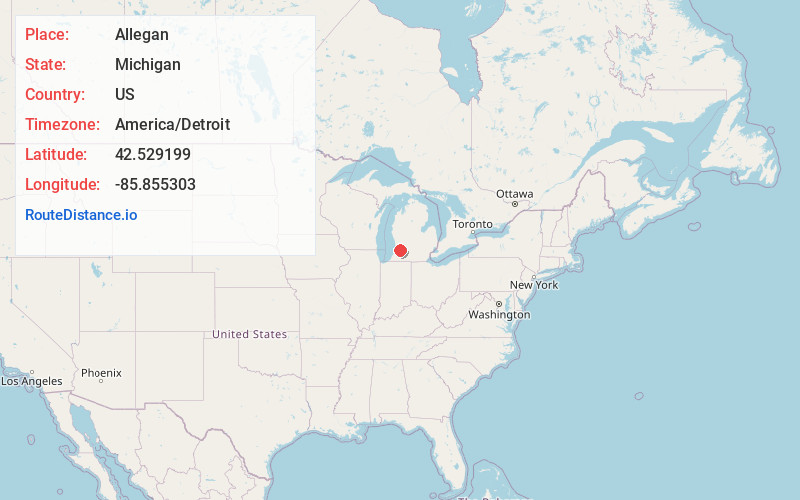
Full AddressAllegan, MI 49010
-
Coordinates42.5291989, -85.8553031
-
LocationAllegan , Michigan , US
-
TimezoneAmerica/Detroit
-
Current Local Time7:59:45 AM America/DetroitTuesday, June 3, 2025
-
Website
-
Page Views0
About Allegan
Allegan is a city and the county seat of Allegan County, Michigan Its population was 5,222 at the 2020 census. It is located 40 miles southwest of Grand Rapids and 30 miles northwest of Kalamazoo, both via US 131. It lies within Allegan Township but is administratively autonomous.


Nearby Places
Found 10 places within 50 miles

Westwood
19.8 mi
31.9 km
Westwood, MI 49006
Get directions

Byron Center
20.7 mi
33.3 km
Byron Center, MI 49315
Get directions

Zeeland
21.3 mi
34.3 km
Zeeland, MI 49464
Get directions

Kalamazoo
21.5 mi
34.6 km
Kalamazoo, MI
Get directions

Eastwood
22.0 mi
35.4 km
Eastwood, MI 49048
Get directions

Holland
22.1 mi
35.6 km
Holland, MI 49423
Get directions
Comstock Northwest
22.5 mi
36.2 km
Comstock Northwest, MI
Get directions

Hudsonville
23.6 mi
38.0 km
Hudsonville, MI 49426
Get directions

Cutlerville
23.6 mi
38.0 km
Cutlerville, MI
Get directions

Kentwood
25.8 mi
41.5 km
Kentwood, MI
Get directions
Location Links
Local Weather
Weather Information
Coming soon!
Location Map
Static map view of Allegan, Michigan
Browse Places by Distance
Places within specific distances from Allegan
Short Distances
Long Distances
Click any distance to see all places within that range from Allegan. Distances shown in miles (1 mile ≈ 1.61 kilometers).