Distance to Alliance, Nebraska

Calculating Your Route
Just a moment while we process your request...
Location Information
-
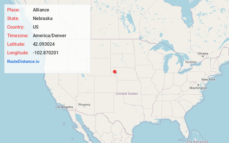
Full AddressAlliance, NE 69301
-
Coordinates42.0930235, -102.8702006
-
LocationAlliance , Nebraska , US
-
TimezoneAmerica/Denver
-
Current Local Time3:40:08 AM America/DenverWednesday, June 18, 2025
-
Page Views0
About Alliance
Alliance is a city and the county seat of Box Butte County, in the western part of the state of Nebraska, in the Great Plains region of the United States. Its population was 8,151 at the 2020 census.
Alliance is home to Carhenge, a replica of Stonehenge constructed with automobiles, which is located north of the city.


Nearby Places
Found 2 places within 50 miles


Location Links
Local Weather
Weather Information
Coming soon!
Location Map
Static map view of Alliance, Nebraska
Browse Places by Distance
Places within specific distances from Alliance
Short Distances
Long Distances
Click any distance to see all places within that range from Alliance. Distances shown in miles (1 mile ≈ 1.61 kilometers).