Distance to Alliance, Florida

Calculating Your Route
Just a moment while we process your request...
Location Information
-
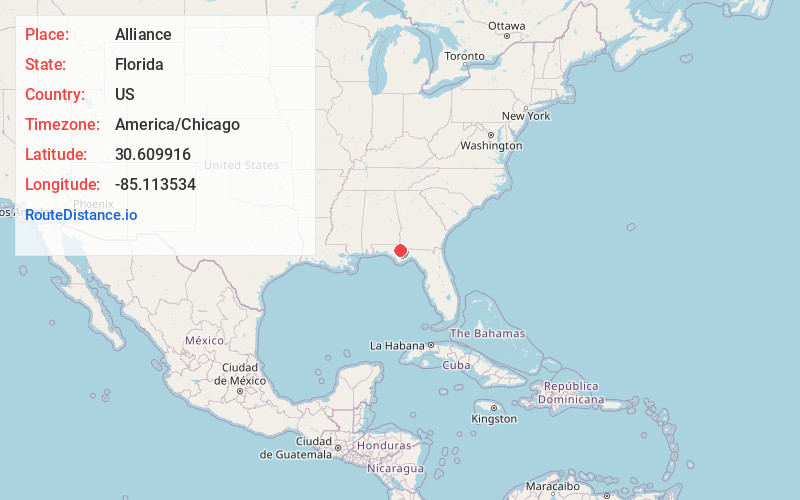
Full AddressAlliance, FL 32448
-
Coordinates30.6099162, -85.1135338
-
LocationAlliance , Florida , US
-
TimezoneAmerica/Chicago
-
Current Local Time12:56:25 AM America/ChicagoTuesday, June 17, 2025
-
Page Views0
Nearby Places
Found 10 places within 50 miles

Cox
1.6 mi
2.6 km
Cox, FL 32421
Get directions
Altha
2.8 mi
4.5 km
Altha, FL 32421
Get directions
Henderson Mill
3.8 mi
6.1 km
Henderson Mill, FL 32421
Get directions

Chason
7.0 mi
11.3 km
Chason, FL 32421
Get directions
Cypress
7.5 mi
12.1 km
Cypress, FL 32442
Get directions

Grand Ridge
9.0 mi
14.5 km
Grand Ridge, FL 32442
Get directions

Blountstown
12.2 mi
19.6 km
Blountstown, FL 32424
Get directions
Sinai
12.6 mi
20.3 km
Sinai, FL 32460
Get directions

Clarksville
12.7 mi
20.4 km
Clarksville, FL
Get directions

Sneads
13.1 mi
21.1 km
Sneads, FL 32460
Get directions
Location Links
Local Weather
Weather Information
Coming soon!
Location Map
Static map view of Alliance, Florida
Browse Places by Distance
Places within specific distances from Alliance
Short Distances
Long Distances
Click any distance to see all places within that range from Alliance. Distances shown in miles (1 mile ≈ 1.61 kilometers).