Distance to Alligator Lake, South Carolina

Calculating Your Route
Just a moment while we process your request...
Location Information
-
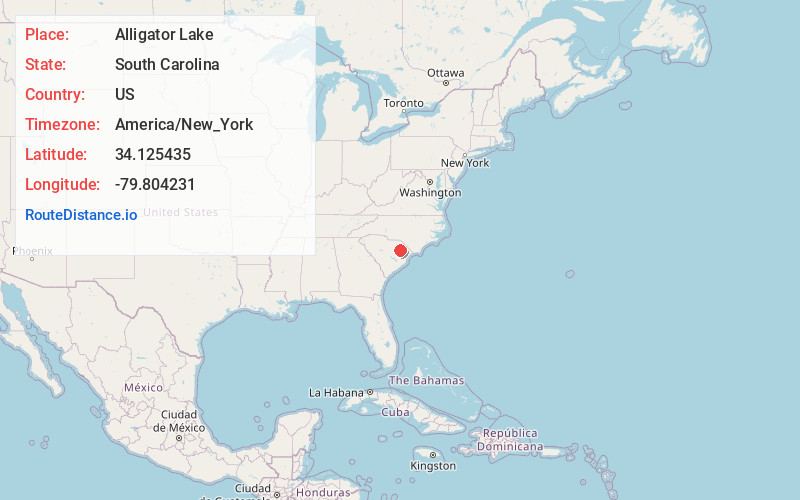
Full AddressAlligator Lake, SC 29541
-
Coordinates34.1254349, -79.8042312
-
LocationAlligator Lake , South Carolina , US
-
TimezoneAmerica/New_York
-
Current Local Time7:11:30 PM America/New_YorkTuesday, June 17, 2025
-
Page Views0
Nearby Places
Found 10 places within 50 miles

Perkins Crossroads
1.7 mi
2.7 km
Perkins Crossroads, SC 29541
Get directions
Howe
2.7 mi
4.3 km
Howe, SC 29505
Get directions
Danwood
3.6 mi
5.8 km
Danwood, SC
Get directions
Ridgecrest
3.6 mi
5.8 km
Ridgecrest, SC 29501
Get directions
Coles Crossing
3.7 mi
6.0 km
Coles Crossing, Florence, SC 29505
Get directions
Ebenezer
4.4 mi
7.1 km
Ebenezer, Florence, SC 29501
Get directions
Peniel Crossroads
4.5 mi
7.2 km
Peniel Crossroads, SC 29161
Get directions
Burch Crossroads
4.6 mi
7.4 km
Burch Crossroads, Florence, SC 29505
Get directions
Elim
5.4 mi
8.7 km
Elim, SC 29541
Get directions

Florence
5.4 mi
8.7 km
Florence, SC
Get directions
Location Links
Local Weather
Weather Information
Coming soon!
Location Map
Static map view of Alligator Lake, South Carolina
Browse Places by Distance
Places within specific distances from Alligator Lake
Short Distances
Long Distances
Click any distance to see all places within that range from Alligator Lake. Distances shown in miles (1 mile ≈ 1.61 kilometers).