Distance to Alloway, New York

Calculating Your Route
Just a moment while we process your request...
Location Information
-
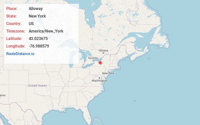
Full AddressAlloway, NY 14489
-
Coordinates43.0236745, -76.9885786
-
LocationAlloway , New York , US
-
TimezoneAmerica/New_York
-
Current Local Time7:36:31 PM America/New_YorkWednesday, June 18, 2025
-
Page Views0
Nearby Places
Found 10 places within 50 miles

Marbletown
3.9 mi
6.3 km
Marbletown, NY 14513
Get directions
Mud Mills
5.6 mi
9.0 km
Mud Mills, Arcadia, NY 14513
Get directions
Hydesville
6.8 mi
10.9 km
Hydesville, Arcadia, NY 14513
Get directions
Gypsum
7.8 mi
12.6 km
Gypsum, Manchester, NY 14432
Get directions
Melvin Hill
8.3 mi
13.4 km
Melvin Hill, Phelps, NY 14532
Get directions

Port Gibson
8.6 mi
13.8 km
Port Gibson, NY
Get directions

Clifton Springs
8.8 mi
14.2 km
Clifton Springs, NY 14432
Get directions
Wayne Center
8.9 mi
14.3 km
Wayne Center, Rose, NY 14489
Get directions
Lockpit
9.1 mi
14.6 km
Lockpit, Galen, NY 14433
Get directions
East Palmyra
9.5 mi
15.3 km
East Palmyra, NY 14513
Get directions
Location Links
Local Weather
Weather Information
Coming soon!
Location Map
Static map view of Alloway, New York
Browse Places by Distance
Places within specific distances from Alloway
Short Distances
Long Distances
Click any distance to see all places within that range from Alloway. Distances shown in miles (1 mile ≈ 1.61 kilometers).