Distance to Alma, Nebraska

Calculating Your Route
Just a moment while we process your request...
Location Information
-
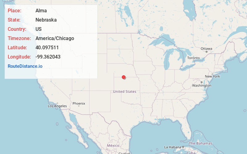
Full AddressAlma, NE 68920
-
Coordinates40.0975108, -99.3620427
-
LocationAlma , Nebraska , US
-
TimezoneAmerica/Chicago
-
Current Local Time4:22:36 AM America/ChicagoWednesday, June 18, 2025
-
Page Views0
About Alma
Alma is a city in Harlan County, Nebraska, United States. The population was 1,133 at the 2010 census. It is the county seat of Harlan County.


Nearby Places
Found 9 places within 50 miles

Phillipsburg
23.7 mi
38.1 km
Phillipsburg, KS 67661
Get directions

Holdrege
23.7 mi
38.1 km
Holdrege, NE 68949
Get directions

Norton
33.4 mi
53.8 km
Norton, KS 67654
Get directions

Minden
35.3 mi
56.8 km
Minden, NE
Get directions
Smith Center
37.7 mi
60.7 km
Smith Center, KS 66967
Get directions

Elm Creek
42.9 mi
69.0 km
Elm Creek, NE 68836
Get directions

Kearney
44.1 mi
71.0 km
Kearney, NE
Get directions

Cambridge
44.3 mi
71.3 km
Cambridge, NE 69022
Get directions

Stockton
45.9 mi
73.9 km
Stockton, KS 67669
Get directions
Location Links
Local Weather
Weather Information
Coming soon!
Location Map
Static map view of Alma, Nebraska
Browse Places by Distance
Places within specific distances from Alma
Short Distances
Long Distances
Click any distance to see all places within that range from Alma. Distances shown in miles (1 mile ≈ 1.61 kilometers).