Distance to Alma, Colorado

Calculating Your Route
Just a moment while we process your request...
Location Information
-
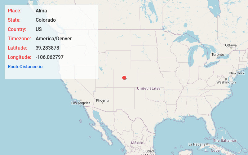
Full AddressAlma, CO
-
Coordinates39.2838783, -106.0627967
-
LocationAlma , Colorado , US
-
TimezoneAmerica/Denver
-
Current Local Time11:47:31 PM America/DenverTuesday, June 17, 2025
-
Website
-
Page Views0
About Alma
Alma is a statutory town in Park County, Colorado, United States. The town population was 296 at the 2020 United States census. Alma is located West and South of the Denver-Aurora-Lakewood, CO Metropolitan Statistical Area and the Front Range Urban Corridor.


Nearby Places
Found 10 places within 50 miles

Fairplay
5.2 mi
8.4 km
Fairplay, CO 80440
Get directions

Blue River
10.1 mi
16.3 km
Blue River, CO 80424
Get directions

Leadville
12.5 mi
20.1 km
Leadville, CO 80461
Get directions

Breckenridge
13.7 mi
22.0 km
Breckenridge, CO 80424
Get directions

Frisco
20.2 mi
32.5 km
Frisco, CO
Get directions

Keystone
21.5 mi
34.6 km
Keystone, CO 80435
Get directions

Twin Lakes
22.1 mi
35.6 km
Twin Lakes, CO 81251
Get directions

Silverthorne
23.9 mi
38.5 km
Silverthorne, CO
Get directions

Dillon
24.0 mi
38.6 km
Dillon, CO
Get directions

Minturn
28.8 mi
46.3 km
Minturn, CO
Get directions
Location Links
Local Weather
Weather Information
Coming soon!
Location Map
Static map view of Alma, Colorado
Browse Places by Distance
Places within specific distances from Alma
Short Distances
Long Distances
Click any distance to see all places within that range from Alma. Distances shown in miles (1 mile ≈ 1.61 kilometers).