Distance to Almanor, California

Calculating Your Route
Just a moment while we process your request...
Location Information
-
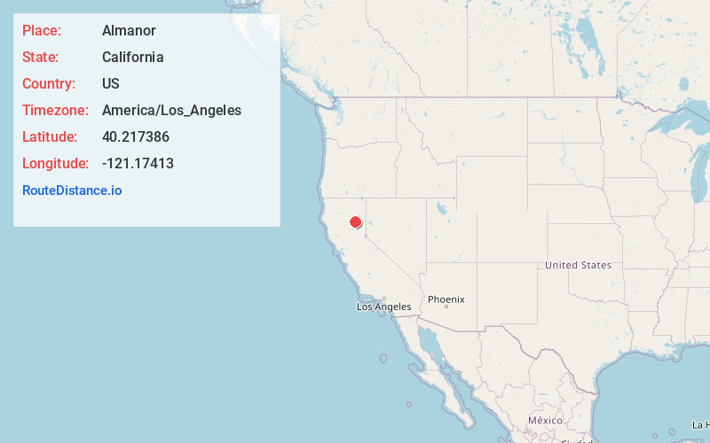
Full AddressAlmanor, CA 95923
-
Coordinates40.2173857, -121.1741296
-
LocationAlmanor , California , US
-
TimezoneAmerica/Los_Angeles
-
Current Local Time3:46:00 PM America/Los_AngelesSunday, June 22, 2025
-
Page Views0
About Almanor
Almanor is a census-designated place in Plumas County, California, United States. The population was 0 at the 2010 Census, but as of 2020, the population was reported as 3. Almanor is located 7 miles south-southeast of Chester.


Nearby Places
Found 10 places within 50 miles

Prattville
1.1 mi
1.8 km
Prattville, CA 95923
Get directions

East Shore
5.3 mi
8.5 km
East Shore, CA 96137
Get directions

Hamilton Branch
5.9 mi
9.5 km
Hamilton Branch, CA 96137
Get directions

Canyondam
6.2 mi
10.0 km
Canyondam, CA
Get directions

Chester
6.9 mi
11.1 km
Chester, CA 96020
Get directions

Clear Creek
8.6 mi
13.8 km
Clear Creek, CA 96137
Get directions

Westwood
10.8 mi
17.4 km
Westwood, CA 96137
Get directions

Greenville
12.9 mi
20.8 km
Greenville, CA 95947
Get directions

Twain
14.7 mi
23.7 km
Twain, CA
Get directions

Crescent Mills
16.2 mi
26.1 km
Crescent Mills, CA
Get directions
Location Links
Local Weather
Weather Information
Coming soon!
Location Map
Static map view of Almanor, California
Browse Places by Distance
Places within specific distances from Almanor
Short Distances
Long Distances
Click any distance to see all places within that range from Almanor. Distances shown in miles (1 mile ≈ 1.61 kilometers).