Distance to Almont, North Dakota

Calculating Your Route
Just a moment while we process your request...
Location Information
-
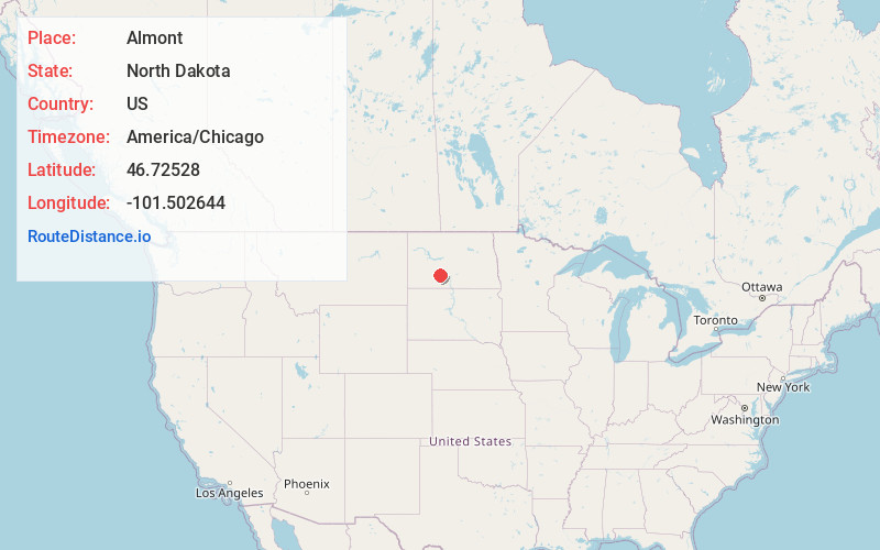
Full AddressAlmont, ND 58520
-
Coordinates46.7252795, -101.5026443
-
LocationAlmont , North Dakota , US
-
TimezoneAmerica/Chicago
-
Current Local Time4:20:02 AM America/ChicagoWednesday, June 18, 2025
-
Page Views0
About Almont
Almont is a city in Morton County, North Dakota, United States. It is part of the "Bismarck, ND Metropolitan Statistical Area" or "Bismarck–Mandan". The population was 100 at the 2020 census. Almont was founded in 1906, incorporated in 1936, and reached a peak population of 232 in 1940.
Nearby Places
Found 10 places within 50 miles

New Salem
9.3 mi
15.0 km
New Salem, ND 58563
Get directions

Glen Ullin
16.7 mi
26.9 km
Glen Ullin, ND 58631
Get directions

Carson
21.5 mi
34.6 km
Carson, ND 58529
Get directions

Flasher
22.6 mi
36.4 km
Flasher, ND 58535
Get directions

Elgin
27.6 mi
44.4 km
Elgin, ND 58533
Get directions

Hebron
28.4 mi
45.7 km
Hebron, ND 58638
Get directions

Center
28.7 mi
46.2 km
Center, ND 58530
Get directions

Mandan
29.8 mi
48.0 km
Mandan, ND 58554
Get directions
Harmon
29.9 mi
48.1 km
Harmon, ND 58554
Get directions

New Leipzig
31.8 mi
51.2 km
New Leipzig, ND 58562
Get directions
Location Links
Local Weather
Weather Information
Coming soon!
Location Map
Static map view of Almont, North Dakota
Browse Places by Distance
Places within specific distances from Almont
Short Distances
Long Distances
Click any distance to see all places within that range from Almont. Distances shown in miles (1 mile ≈ 1.61 kilometers).