Distance to Alpha, Iowa

Calculating Your Route
Just a moment while we process your request...
Location Information
-
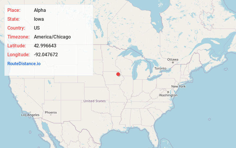
Full AddressAlpha, IA 52171
-
Coordinates42.9966431, -92.0476715
-
LocationAlpha , Iowa , US
-
TimezoneAmerica/Chicago
-
Current Local Time6:00:33 PM America/ChicagoFriday, May 30, 2025
-
Page Views0
About Alpha
Alpha is an unincorporated community in Fayette County, Iowa, United States. It is located on Johnsons Mill Road near County Road V68, three miles south of Waucoma, at 42.995718N, -92.047995W, where Johnsons Mill Road crosses Crane Creek.
Nearby Places
Found 10 places within 50 miles

Waucoma
4.2 mi
6.8 km
Waucoma, IA 52171
Get directions

Hawkeye
6.4 mi
10.3 km
Hawkeye, IA 52147
Get directions

Lawler
7.4 mi
11.9 km
Lawler, IA
Get directions
St Lucas
7.5 mi
12.1 km
St Lucas, IA
Get directions

Fredericksburg
8.0 mi
12.9 km
Fredericksburg, IA 50630
Get directions

Jackson Junction
8.2 mi
13.2 km
Jackson Junction, IA
Get directions

Sumner
10.5 mi
16.9 km
Sumner, IA 50674
Get directions
Eldorado
11.3 mi
18.2 km
Eldorado, IA 52175
Get directions

Fort Atkinson
11.7 mi
18.8 km
Fort Atkinson, IA 52144
Get directions

West Union
12.3 mi
19.8 km
West Union, IA 52175
Get directions
Location Links
Local Weather
Weather Information
Coming soon!
Location Map
Static map view of Alpha, Iowa
Browse Places by Distance
Places within specific distances from Alpha
Short Distances
Long Distances
Click any distance to see all places within that range from Alpha. Distances shown in miles (1 mile ≈ 1.61 kilometers).