Distance to Alpharetta, Georgia

Calculating Your Route
Just a moment while we process your request...
Location Information
-
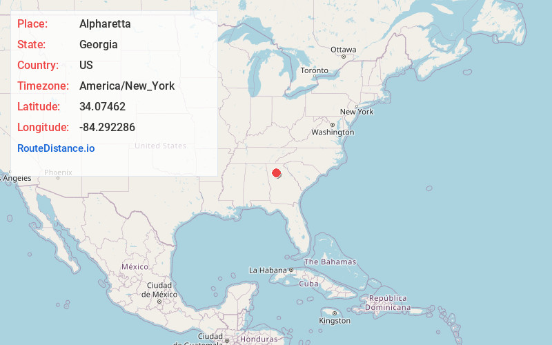
Full AddressAlpharetta, GA
-
Coordinates34.0746204, -84.2922862
-
LocationAlpharetta , Georgia , US
-
TimezoneAmerica/New_York
-
Current Local Time11:53:49 PM America/New_YorkSaturday, June 21, 2025
-
Website
-
Page Views0
About Alpharetta
Alpharetta is a city in northern Fulton County, Georgia, United States, and part of the Atlanta metropolitan area. As of the 2020 U.S. census, Alpharetta's population was 65,818; in 2010, the population had been 57,551.


Nearby Places
Found 6 places within 50 miles

Roswell
5.3 mi
8.5 km
Roswell, GA
Get directions

Johns Creek
6.2 mi
10.0 km
Johns Creek, GA
Get directions

Sandy Springs
11.0 mi
17.7 km
Sandy Springs, GA
Get directions

Atlanta
23.1 mi
37.2 km
Atlanta, GA
Get directions

Gainesville
30.9 mi
49.7 km
Gainesville, GA
Get directions

South Fulton
34.6 mi
55.7 km
South Fulton, GA
Get directions
Location Links
Local Weather
Weather Information
Coming soon!
Location Map
Static map view of Alpharetta, Georgia
Browse Places by Distance
Places within specific distances from Alpharetta
Short Distances
Long Distances
Click any distance to see all places within that range from Alpharetta. Distances shown in miles (1 mile ≈ 1.61 kilometers).