Distance to Alston, South Carolina

Calculating Your Route
Just a moment while we process your request...
Location Information
-
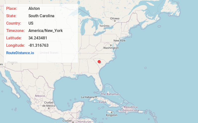
Full AddressAlston, SC 29075
-
Coordinates34.2434812, -81.3167631
-
LocationAlston , South Carolina , US
-
TimezoneAmerica/New_York
-
Current Local Time7:08:42 PM America/New_YorkTuesday, June 17, 2025
-
Page Views0
Nearby Places
Found 10 places within 50 miles

Peak
0.4 mi
0.6 km
Peak, SC
Get directions

Parr
1.8 mi
2.9 km
Parr, SC 29126
Get directions

Jenkinsville
2.4 mi
3.9 km
Jenkinsville, SC 29065
Get directions

Chapin
5.7 mi
9.2 km
Chapin, SC 29036
Get directions

Pomaria
6.1 mi
9.8 km
Pomaria, SC 29126
Get directions

Little Mountain
6.4 mi
10.3 km
Little Mountain, SC
Get directions
Slighs
8.2 mi
13.2 km
Slighs, SC 29127
Get directions

Lake Murray of Richland
9.1 mi
14.6 km
Lake Murray of Richland, SC
Get directions
Wheeland
9.2 mi
14.8 km
Wheeland, SC 29075
Get directions
Taylors Crossroads
10.5 mi
16.9 km
Taylors Crossroads, SC 29127
Get directions
Location Links
Local Weather
Weather Information
Coming soon!
Location Map
Static map view of Alston, South Carolina
Browse Places by Distance
Places within specific distances from Alston
Short Distances
Long Distances
Click any distance to see all places within that range from Alston. Distances shown in miles (1 mile ≈ 1.61 kilometers).