Distance to and from Alto, Indiana
Alto, Harrison Township, IN 46902
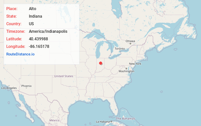
Harrison Township
Indiana
US
America/Indianapolis
Location Information
-
Full AddressAlto, Harrison Township, IN 46902
-
Coordinates40.4399883, -86.1651775
-
NeighborhoodAlto
-
LocationHarrison Township , Indiana , US
-
TimezoneAmerica/Indianapolis
-
Page Views0
Directions to Nearest Cities
About Alto
Alto was an unincorporated town which is now a neighborhood of Kokomo in Harrison Township, Howard County, Indiana, United States. It is part of the Kokomo, Indiana Metropolitan Statistical Area. Alto was annexed into the city of Kokomo January 1, 2012.
Nearby Places
Found 10 places within 50 miles

West Middleton
2.7 mi
4.3 km
West Middleton, IN
Get directions

Kokomo
3.6 mi
5.8 km
Kokomo, IN
Get directions
Center
5.5 mi
8.9 km
Center, IN
Get directions
New London
5.6 mi
9.0 km
New London, IN 46979
Get directions

Russiaville
5.8 mi
9.3 km
Russiaville, IN 46979
Get directions
Sharpsville
5.8 mi
9.3 km
Sharpsville, IN 46068
Get directions

Hemlock
6.7 mi
10.8 km
Hemlock, IN 46902
Get directions
Groomsville
6.8 mi
10.9 km
Groomsville, IN 46072
Get directions
Judson
7.1 mi
11.4 km
Judson, IN 46901
Get directions
Ridgeway
7.7 mi
12.4 km
Ridgeway, Ervin Township, IN 46901
Get directions
West Middleton
2.7 mi
4.3 km
West Middleton, IN
Kokomo
3.6 mi
5.8 km
Kokomo, IN
Center
5.5 mi
8.9 km
Center, IN
New London
5.6 mi
9.0 km
New London, IN 46979
Russiaville
5.8 mi
9.3 km
Russiaville, IN 46979
Sharpsville
5.8 mi
9.3 km
Sharpsville, IN 46068
Hemlock
6.7 mi
10.8 km
Hemlock, IN 46902
Groomsville
6.8 mi
10.9 km
Groomsville, IN 46072
Judson
7.1 mi
11.4 km
Judson, IN 46901
Ridgeway
7.7 mi
12.4 km
Ridgeway, Ervin Township, IN 46901
Location Links
Local Weather
Weather Information
Coming soon!
Location Map
Static map view of Alto, Indiana
Browse Places by Distance
Places within specific distances from Alto
Short Distances
Long Distances
Click any distance to see all places within that range from Alto. Distances shown in miles (1 mile ≈ 1.61 kilometers).