Distance to Altonville, Tennessee

Calculating Your Route
Just a moment while we process your request...
Location Information
-
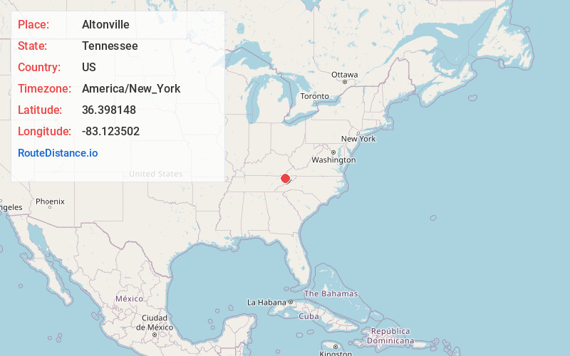
Full AddressAltonville, TN 37857
-
Coordinates36.3981482, -83.1235018
-
LocationAltonville , Tennessee , US
-
TimezoneAmerica/New_York
-
Current Local Time5:26:34 AM America/New_YorkWednesday, June 18, 2025
-
Page Views0
Nearby Places
Found 10 places within 50 miles

Cloud Creek
0.9 mi
1.4 km
Cloud Creek, TN 37857
Get directions
Choptack
1.5 mi
2.4 km
Choptack, TN 37857
Get directions
Klondike
2.9 mi
4.7 km
Klondike, TN 37857
Get directions
Galbraith Springs
3.7 mi
6.0 km
Galbraith Springs, TN 37811
Get directions
Lakemont Cabin Area
4.4 mi
7.1 km
Lakemont Cabin Area, TN 37811
Get directions
Lee Valley
4.6 mi
7.4 km
Lee Valley, TN 37869
Get directions
Spruce Pine
5.1 mi
8.2 km
Spruce Pine, TN 37811
Get directions

St Clair
5.1 mi
8.2 km
St Clair, TN 37711
Get directions
Camelot
5.1 mi
8.2 km
Camelot, TN 37857
Get directions
Murrelltown
5.8 mi
9.3 km
Murrelltown, TN 37869
Get directions
Location Links
Local Weather
Weather Information
Coming soon!
Location Map
Static map view of Altonville, Tennessee
Browse Places by Distance
Places within specific distances from Altonville
Short Distances
Long Distances
Click any distance to see all places within that range from Altonville. Distances shown in miles (1 mile ≈ 1.61 kilometers).