Distance to Alunite, Utah

Calculating Your Route
Just a moment while we process your request...
Location Information
-
Full AddressAlunite, UT 84750
-
Coordinates38.381416, -112.246208
-
LocationAlunite , Utah , US
-
TimezoneAmerica/Denver
-
Current Local Time4:58:09 PM America/DenverTuesday, June 17, 2025
-
Page Views0
About Alunite
Alunite is a ghost town located some 5 miles south of Marysvale, near the mouth of Cottonwood Canyon in Piute County, Utah, United States. A small but important mining town during World War I, Alunite was inhabited from approximately 1915–1930.
Nearby Places
Found 10 places within 50 miles

Marysvale
4.8 mi
7.7 km
Marysvale, UT 84750
Get directions

Belknap
9.3 mi
15.0 km
Belknap, UT 84766
Get directions

Junction
10.0 mi
16.1 km
Junction, UT 84740
Get directions
Lower Kimberly
10.9 mi
17.5 km
Lower Kimberly, UT 84766
Get directions

Kingston
12.4 mi
20.0 km
Kingston, UT 84740
Get directions

Sevier
14.2 mi
22.9 km
Sevier, UT 84766
Get directions

Circleville
14.6 mi
23.5 km
Circleville, UT
Get directions

Joseph
17.0 mi
27.4 km
Joseph, UT 84739
Get directions
Angle
17.2 mi
27.7 km
Angle, UT 84712
Get directions

North Creek
18.2 mi
29.3 km
North Creek, UT 84713
Get directions
Location Links
Local Weather
Weather Information
Coming soon!
Location Map
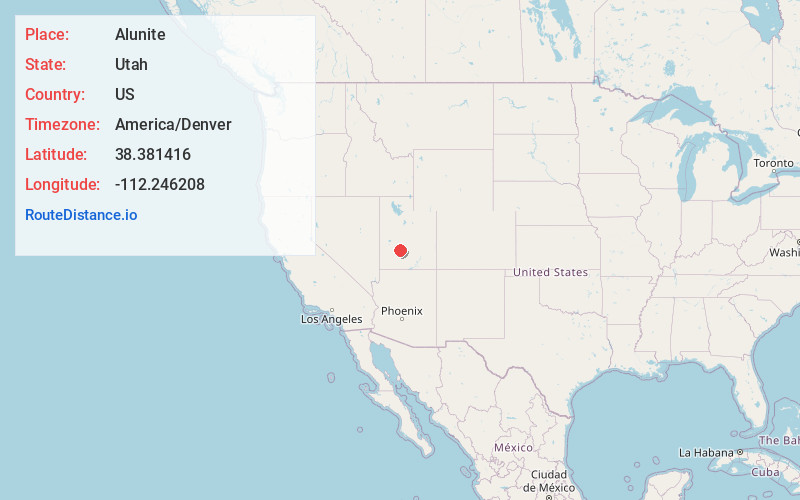
Static map view of Alunite, Utah
Browse Places by Distance
Places within specific distances from Alunite
Short Distances
Long Distances
Click any distance to see all places within that range from Alunite. Distances shown in miles (1 mile ≈ 1.61 kilometers).