Distance to Alvaton, Kentucky

Calculating Your Route
Just a moment while we process your request...
Location Information
-
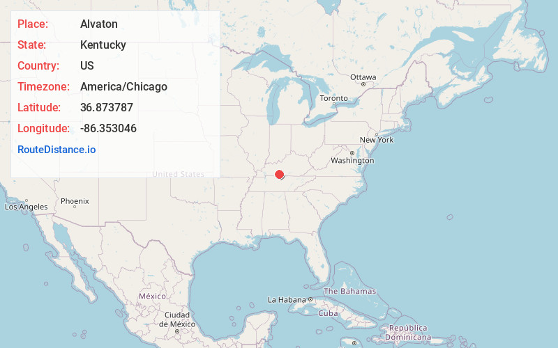
Full AddressAlvaton, KY 42122
-
Coordinates36.8737874, -86.3530456
-
LocationAlvaton , Kentucky , US
-
TimezoneAmerica/Chicago
-
Current Local Time2:27:33 AM America/ChicagoSaturday, June 21, 2025
-
Page Views0
About Alvaton
Alvaton is an unincorporated community in Warren County, Kentucky, United States. It is 9.5 miles southeast of Bowling Green, Kentucky on U.S. Route 231. It is home to Alvaton Elementary School, which is part of the Warren County Public Schools system.
Nearby Places
Found 10 places within 50 miles

Greenhill
3.1 mi
5.0 km
Greenhill, KY 42103
Get directions
Boyce
3.2 mi
5.1 km
Boyce, KY 42122
Get directions
Allen Springs
3.6 mi
5.8 km
Allen Springs, KY 42164
Get directions
Drake
4.1 mi
6.6 km
Drake, KY 42122
Get directions
Motley
4.3 mi
6.9 km
Motley, KY 42103
Get directions
Hardcastle
4.9 mi
7.9 km
Hardcastle, KY 42103
Get directions
Trammel
6.1 mi
9.8 km
Trammel, KY 42164
Get directions

Halfway
6.3 mi
10.1 km
Halfway, KY 42164
Get directions
Claypool
6.6 mi
10.6 km
Claypool, KY 42103
Get directions
Butlersville
6.8 mi
10.9 km
Butlersville, KY 42164
Get directions
Location Links
Local Weather
Weather Information
Coming soon!
Location Map
Static map view of Alvaton, Kentucky
Browse Places by Distance
Places within specific distances from Alvaton
Short Distances
Long Distances
Click any distance to see all places within that range from Alvaton. Distances shown in miles (1 mile ≈ 1.61 kilometers).