Distance to Alvin, Texas

Calculating Your Route
Just a moment while we process your request...
Location Information
-
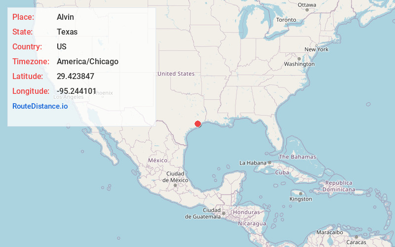
Full AddressAlvin, TX
-
Coordinates29.4238472, -95.2441009
-
LocationAlvin , Texas , US
-
TimezoneAmerica/Chicago
-
Current Local Time5:11:43 AM America/ChicagoWednesday, May 21, 2025
-
Website
-
Page Views0
About Alvin
Alvin is a city in the U.S. state of Texas within the Houston-The Woodlands-Sugar Land metropolitan area and Brazoria County. As of the 2020 U.S. Census, the city population was 27,098.


Nearby Places
Found 10 places within 50 miles

Friendswood
7.7 mi
12.4 km
Friendswood, TX
Get directions

Pearland
10.0 mi
16.1 km
Pearland, TX
Get directions

League City
10.6 mi
17.1 km
League City, TX
Get directions

Pasadena
19.1 mi
30.7 km
Pasadena, TX
Get directions

Texas City
20.7 mi
33.3 km
Texas City, TX
Get directions

Deer Park
20.7 mi
33.3 km
Deer Park, TX
Get directions

Missouri City
21.0 mi
33.8 km
Missouri City, TX
Get directions

La Porte
21.5 mi
34.6 km
La Porte, TX 77571
Get directions

Houston
24.4 mi
39.3 km
Houston, TX
Get directions

Channelview
25.5 mi
41.0 km
Channelview, TX
Get directions
Location Links
Local Weather
Weather Information
Coming soon!
Location Map
Static map view of Alvin, Texas
Browse Places by Distance
Places within specific distances from Alvin
Short Distances
Long Distances
Click any distance to see all places within that range from Alvin. Distances shown in miles (1 mile ≈ 1.61 kilometers).