Distance to Amanda Park, Washington

Calculating Your Route
Just a moment while we process your request...
Location Information
-
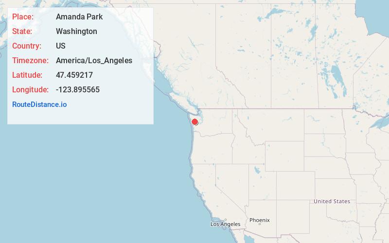
Full AddressAmanda Park, WA
-
Coordinates47.4592173, -123.8955649
-
LocationAmanda Park , Washington , US
-
TimezoneAmerica/Los_Angeles
-
Current Local Time12:07:23 AM America/Los_AngelesWednesday, June 18, 2025
-
Page Views0
About Amanda Park
Amanda Park is a census designated place on the Olympic Peninsula in Grays Harbor County, Washington, United States, along U.S. Route 101. Olympic National Park and Lake Quinault are directly to the north. As of the 2010 census the population was 252.


Nearby Places
Found 10 places within 50 miles

Neilton
3.3 mi
5.3 km
Neilton, WA
Get directions

Humptulips
15.9 mi
25.6 km
Humptulips, WA
Get directions

Santiago
19.6 mi
31.5 km
Santiago, WA
Get directions

Taholah
20.1 mi
32.3 km
Taholah, WA 98587
Get directions

Queets
21.1 mi
34.0 km
Queets, WA
Get directions

Moclips
21.4 mi
34.4 km
Moclips, WA 98562
Get directions

Pacific Beach
22.4 mi
36.0 km
Pacific Beach, WA 98571
Get directions

Copalis Beach
27.3 mi
43.9 km
Copalis Beach, WA
Get directions
Aberdeen Gardens
27.4 mi
44.1 km
Aberdeen Gardens, WA 98520
Get directions

Ocean City
29.7 mi
47.8 km
Ocean City, WA 98569
Get directions
Location Links
Local Weather
Weather Information
Coming soon!
Location Map
Static map view of Amanda Park, Washington
Browse Places by Distance
Places within specific distances from Amanda Park
Short Distances
Long Distances
Click any distance to see all places within that range from Amanda Park. Distances shown in miles (1 mile ≈ 1.61 kilometers).