Distance to Amelia Island, Florida

Calculating Your Route
Just a moment while we process your request...
Location Information
-
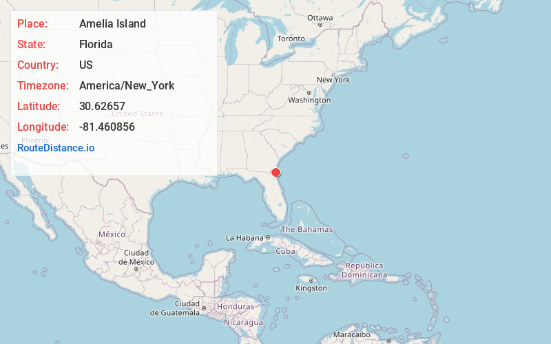
Full AddressAmelia Island, Florida 32034
-
Coordinates30.6265697, -81.460856
-
LocationFlorida , US
-
TimezoneAmerica/New_York
-
Current Local Time2:20:45 AM America/New_YorkTuesday, June 17, 2025
-
Page Views0
About Amelia Island
Popular tourist destination known for luxury hotels, bed-&-breakfasts, golf courses & sandy beaches.


Nearby Places
Found 10 places within 50 miles

Amelia City
2.5 mi
4.0 km
Amelia City, FL 32034
Get directions
O'Neil
3.3 mi
5.3 km
O'Neil, FL 32034
Get directions

American Beach
3.7 mi
6.0 km
American Beach, FL 32034
Get directions
Old Fernandina
4.4 mi
7.1 km
Old Fernandina, Fernandina Beach, FL 32034
Get directions
Franklintown
4.9 mi
7.9 km
Franklintown, FL 32034
Get directions
Chester
6.1 mi
9.8 km
Chester, Yulee, FL 32097
Get directions
Point Peter
7.6 mi
12.2 km
Point Peter, St Marys, GA 31558
Get directions
Yulee Heights
8.2 mi
13.2 km
Yulee Heights, Yulee, FL 32097
Get directions
Hedges
8.4 mi
13.5 km
Hedges, Yulee, FL 32097
Get directions

Dungeness Ruins
8.5 mi
13.7 km
Dungeness Ruins, St Marys, GA 31558
Get directions
Location Links
Local Weather
Weather Information
Coming soon!
Location Map
Static map view of Amelia Island, Florida
Browse Places by Distance
Places within specific distances from Amelia Island
Short Distances
Long Distances
Click any distance to see all places within that range from Amelia Island. Distances shown in miles (1 mile ≈ 1.61 kilometers).