Distance to Amherst, Virginia

Calculating Your Route
Just a moment while we process your request...
Location Information
-
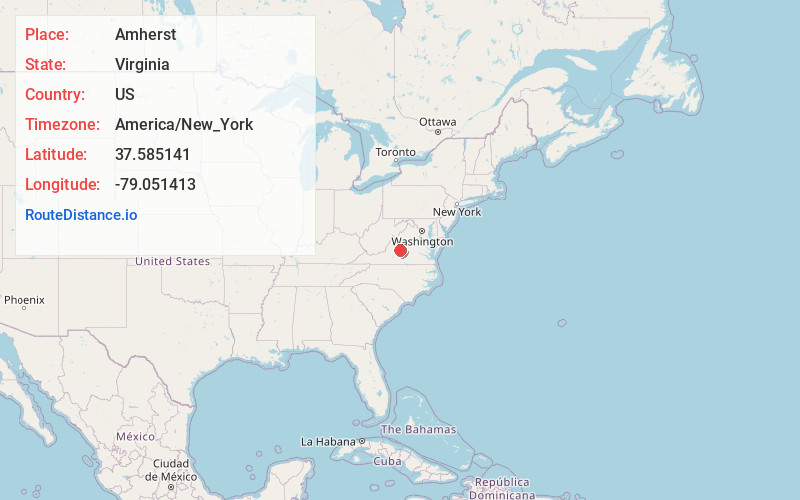
Full AddressAmherst, VA 24521
-
Coordinates37.5851412, -79.0514134
-
LocationAmherst , Virginia , US
-
TimezoneAmerica/New_York
-
Current Local Time9:04:00 PM America/New_YorkFriday, June 20, 2025
-
Website
-
Page Views0
About Amherst
Amherst is a town in Amherst County, Virginia, United States. The population was 2,231 at the 2010 census. It is the county seat of Amherst County.
Amherst is part of the Lynchburg metropolitan area.


Nearby Places
Found 10 places within 50 miles

Madison Heights
11.4 mi
18.3 km
Madison Heights, VA 24572
Get directions

Lynchburg
12.8 mi
20.6 km
Lynchburg, VA
Get directions

Buena Vista
19.5 mi
31.4 km
Buena Vista, VA
Get directions

Forest
20.1 mi
32.3 km
Forest, VA
Get directions

Timberlake
21.5 mi
34.6 km
Timberlake, VA
Get directions

Lexington
25.4 mi
40.9 km
Lexington, VA 24450
Get directions

Stuarts Draft
30.8 mi
49.6 km
Stuarts Draft, VA
Get directions

Bedford
31.1 mi
50.1 km
Bedford, VA 24523
Get directions

Waynesboro
34.5 mi
55.5 km
Waynesboro, VA 22980
Get directions

Altavista
35.1 mi
56.5 km
Altavista, VA
Get directions
Location Links
Local Weather
Weather Information
Coming soon!
Location Map
Static map view of Amherst, Virginia
Browse Places by Distance
Places within specific distances from Amherst
Short Distances
Long Distances
Click any distance to see all places within that range from Amherst. Distances shown in miles (1 mile ≈ 1.61 kilometers).