Distance to Ammon, Virginia

Calculating Your Route
Just a moment while we process your request...
Location Information
-
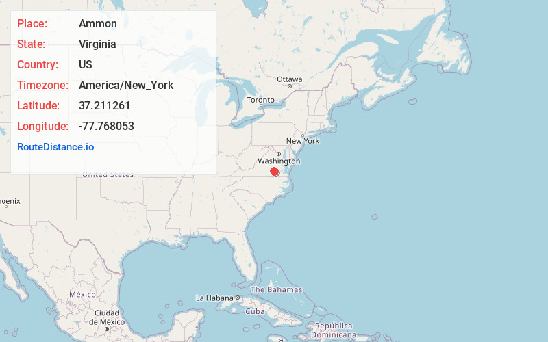
Full AddressAmmon, VA 23850
-
Coordinates37.2112612, -77.7680528
-
LocationAmmon , Virginia , US
-
TimezoneAmerica/New_York
-
Current Local Time7:38:09 AM America/New_YorkSunday, June 22, 2025
-
Page Views0
About Ammon
Ammon is a rural unincorporated community in the southeastern corner of Amelia County in the U.S. state of Virginia. It is located in Jackson District on SR 600 between SR 610 and SR 622. The portion of the border of Dinwiddie and Nottoway counties that is formed by Namozine Creek is 1.5 miles to the southeast.
Nearby Places
Found 10 places within 50 miles

Namozine
3.6 mi
5.8 km
Namozine, VA 23850
Get directions
Hebron
5.1 mi
8.2 km
Hebron, VA 23850
Get directions
Wilsons
7.3 mi
11.7 km
Wilsons, VA 23894
Get directions
Spainville
8.3 mi
13.4 km
Spainville, VA 23824
Get directions
Winterpock
9.7 mi
15.6 km
Winterpock, VA 23838
Get directions
Wellville
10.2 mi
16.4 km
Wellville, VA 23824
Get directions
Darvills
10.9 mi
17.5 km
Darvills, VA 23872
Get directions
Summit
11.4 mi
18.3 km
Summit, VA 23838
Get directions
Sutherland
11.5 mi
18.5 km
Sutherland, VA 23885
Get directions

Dinwiddie
13.6 mi
21.9 km
Dinwiddie, VA 23841
Get directions
Location Links
Local Weather
Weather Information
Coming soon!
Location Map
Static map view of Ammon, Virginia
Browse Places by Distance
Places within specific distances from Ammon
Short Distances
Long Distances
Click any distance to see all places within that range from Ammon. Distances shown in miles (1 mile ≈ 1.61 kilometers).