Distance to Amnicon Falls State Park, Wisconsin

Calculating Your Route
Just a moment while we process your request...
Location Information
-
Full AddressAmnicon Falls State Park, 4279 County Rd U, South Range, WI 54874
-
Coordinates46.6081889, -91.8921781
-
Street4279 County Rd U
-
LocationSouth Range , Wisconsin , US
-
TimezoneAmerica/Chicago
-
Current Local Time4:27:35 AM America/ChicagoWednesday, June 18, 2025
-
Page Views0
About Amnicon Falls State Park
Nature park featuring waterfalls & rapids on the Amnicon River, trails & camping.


Nearby Places
Found 10 places within 50 miles

Amnicon Falls
0.3 mi
0.5 km
Amnicon Falls, WI 54874
Get directions

Amnicon
1.1 mi
1.8 km
Amnicon, WI
Get directions

Rockmont
1.7 mi
2.7 km
Rockmont, WI 54874
Get directions
Wentworth
2.7 mi
4.3 km
Wentworth, WI 54864
Get directions
Middle River
2.8 mi
4.5 km
Middle River, WI 54874
Get directions
Cutter
3.6 mi
5.8 km
Cutter, WI 54874
Get directions

South Range
4.3 mi
6.9 km
South Range, WI 54874
Get directions
Hines
4.6 mi
7.4 km
Hines, WI 54874
Get directions
Poplar
4.7 mi
7.6 km
Poplar, WI
Get directions
Lakeside
5.0 mi
8.0 km
Lakeside, WI
Get directions
Location Links
Local Weather
Weather Information
Coming soon!
Location Map
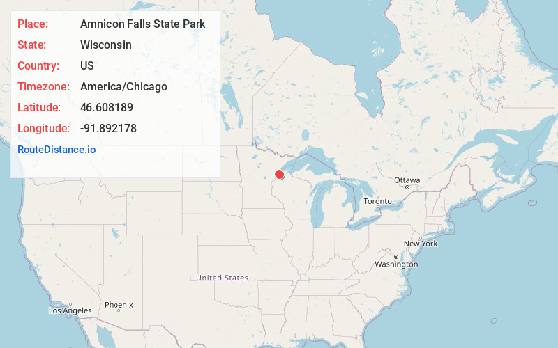
Static map view of Amnicon Falls State Park, Wisconsin
Browse Places by Distance
Places within specific distances from Amnicon Falls State Park
Short Distances
Long Distances
Click any distance to see all places within that range from Amnicon Falls State Park. Distances shown in miles (1 mile ≈ 1.61 kilometers).