Distance to Amund, Iowa

Calculating Your Route
Just a moment while we process your request...
Location Information
-
Full AddressAmund, IA 50478
-
Coordinates43.4732877, -93.7932803
-
LocationAmund , Iowa , US
-
TimezoneAmerica/Chicago
-
Current Local Time11:11:57 PM America/ChicagoSaturday, June 28, 2025
-
Page Views0
About Amund
Amund was a rural unincorporated community in Eden Township, Winnebago County, Iowa, United States. Founded in the late 1800s, the community was considered prosperous in the early 20th century, but the population remained small. By the 1970s, the town was one of 11 abandoned communities in Winnebago County.
Nearby Places
Found 10 places within 50 miles

Kiester
5.9 mi
9.5 km
Kiester, MN 56051
Get directions

Seely Township
6.1 mi
9.8 km
Seely Township, MN
Get directions

Bricelyn
6.2 mi
10.0 km
Bricelyn, MN 56014
Get directions
Rake
6.3 mi
10.1 km
Rake, IA 50424
Get directions
Thompson
7.1 mi
11.4 km
Thompson, IA 50478
Get directions
Scarville
8.8 mi
14.2 km
Scarville, IA
Get directions

Buffalo Center
9.8 mi
15.8 km
Buffalo Center, IA 50424
Get directions

Frost
10.3 mi
16.6 km
Frost, MN 56033
Get directions

Walters
11.0 mi
17.7 km
Walters, MN 56097
Get directions
Stevens
11.0 mi
17.7 km
Stevens, IA 50424
Get directions
Location Links
Local Weather
Weather Information
Coming soon!
Location Map
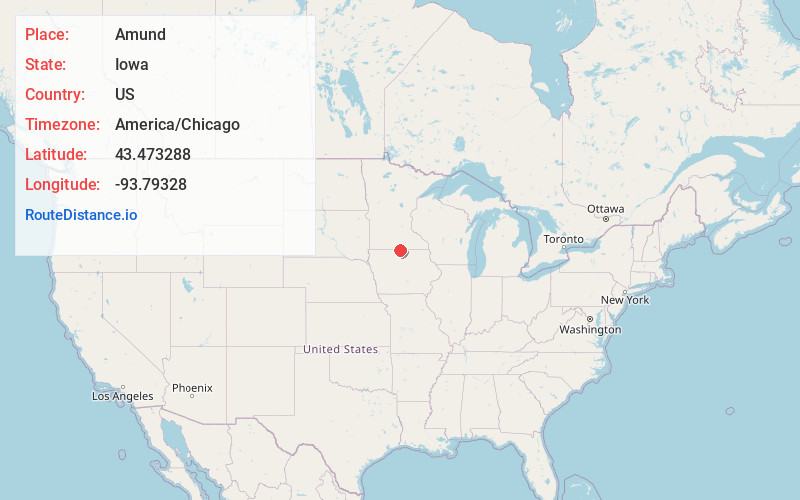
Static map view of Amund, Iowa
Browse Places by Distance
Places within specific distances from Amund
Short Distances
Long Distances
Click any distance to see all places within that range from Amund. Distances shown in miles (1 mile ≈ 1.61 kilometers).