Distance to Anchor Point, Alaska

Calculating Your Route
Just a moment while we process your request...
Location Information
-
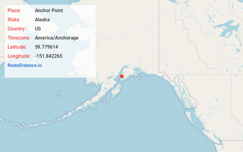
Full AddressAnchor Point, AK
-
Coordinates59.7796135, -151.842265
-
LocationAnchor Point , Alaska , US
-
TimezoneAmerica/Anchorage
-
Current Local Time1:31:11 AM America/AnchorageWednesday, June 18, 2025
-
Page Views0
About Anchor Point
Anchor Point is an unincorporated community and census-designated place in Kenai Peninsula Borough, in the U.S. state of Alaska. As of the 2010 census the population was 1,930, up from 1,845 in 2000. The community is located along the Sterling Highway, part of Alaska State Route 1.


Nearby Places
Found 1 places within 50 miles

Location Links
Local Weather
Weather Information
Coming soon!
Location Map
Static map view of Anchor Point, Alaska
Browse Places by Distance
Places within specific distances from Anchor Point
Short Distances
Long Distances
Click any distance to see all places within that range from Anchor Point. Distances shown in miles (1 mile ≈ 1.61 kilometers).