Distance to Anderson City, Georgia

Calculating Your Route
Just a moment while we process your request...
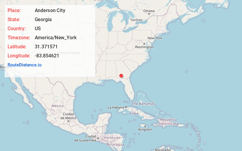
Location Information
-
Full AddressAnderson City, GA 31791
-
Coordinates31.3715708, -83.8546212
-
LocationAnderson City , Georgia , US
-
TimezoneAmerica/New_York
-
Current Local Time10:24:58 AM America/New_YorkSaturday, May 31, 2025
-
Page Views0
Nearby Places
Found 10 places within 50 miles

Powelltown
4.9 mi
7.9 km
Powelltown, GA 31791
Get directions

Doerun
5.2 mi
8.4 km
Doerun, GA 31744
Get directions
Poulan
10.5 mi
16.9 km
Poulan, GA 31781
Get directions

Sylvester
11.1 mi
17.9 km
Sylvester, GA 31791
Get directions
Gammage
11.8 mi
19.0 km
Gammage, GA 31791
Get directions
Funston
11.9 mi
19.2 km
Funston, GA 31768
Get directions

Sumner
11.9 mi
19.2 km
Sumner, GA
Get directions

Norman Park
12.2 mi
19.6 km
Norman Park, GA 31771
Get directions

Sale City
12.3 mi
19.8 km
Sale City, GA 31784
Get directions

Moultrie
13.8 mi
22.2 km
Moultrie, GA
Get directions
Location Links
Local Weather
Weather Information
Coming soon!
Location Map
Static map view of Anderson City, Georgia
Browse Places by Distance
Places within specific distances from Anderson City
Short Distances
Long Distances
Click any distance to see all places within that range from Anderson City. Distances shown in miles (1 mile ≈ 1.61 kilometers).