Distance to Andersontown, Maryland

Calculating Your Route
Just a moment while we process your request...
Location Information
-
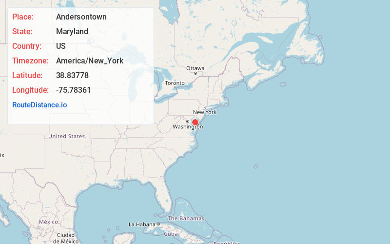
Full AddressAndersontown, MD 21629
-
Coordinates38.83778, -75.78361
-
LocationAndersontown , Maryland , US
-
TimezoneAmerica/New_York
-
Current Local Time10:28:33 AM America/New_YorkMonday, June 23, 2025
-
Page Views0
About Andersontown
Andersontown is a populated place on Maryland's Eastern Shore in Caroline County, Maryland, United States. It is situated near the Delaware line, centered on the intersection of Andersontown Road and Maryland Route 404.
Nearby Places
Found 10 places within 50 miles

Hickman
3.3 mi
5.3 km
Hickman, DE 19950
Get directions
Williston
3.7 mi
6.0 km
Williston, MD 21629
Get directions

Denton
4.0 mi
6.4 km
Denton, MD 21629
Get directions
West Denton
4.6 mi
7.4 km
West Denton, MD 21629
Get directions
Agner
5.7 mi
9.2 km
Agner, MD 21632
Get directions
Melvin Crossroads
6.5 mi
10.5 km
Melvin Crossroads, DE 19952
Get directions
Downes
8.2 mi
13.2 km
Downes, MD 21660
Get directions
Trinity
8.6 mi
13.8 km
Trinity, MD 21660
Get directions
Matthews
9.2 mi
14.8 km
Matthews, MD 21601
Get directions

Ridgely
9.3 mi
15.0 km
Ridgely, MD 21660
Get directions
Location Links
Local Weather
Weather Information
Coming soon!
Location Map
Static map view of Andersontown, Maryland
Browse Places by Distance
Places within specific distances from Andersontown
Short Distances
Long Distances
Click any distance to see all places within that range from Andersontown. Distances shown in miles (1 mile ≈ 1.61 kilometers).