Distance to Andover, South Dakota

Calculating Your Route
Just a moment while we process your request...
Location Information
-
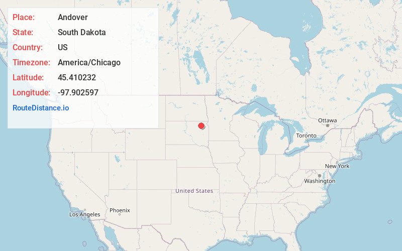
Full AddressAndover, SD 57422
-
Coordinates45.4102319, -97.9025974
-
LocationAndover , South Dakota , US
-
TimezoneAmerica/Chicago
-
Current Local Time4:26:30 AM America/ChicagoWednesday, June 18, 2025
-
Page Views0
About Andover
Andover is a town in northwestern Day County, South Dakota, United States. The population was 66 at the 2020 census.
Nearby Places
Found 10 places within 50 miles

Pierpont
6.8 mi
10.9 km
Pierpont, SD 57468
Get directions
Bristol
8.7 mi
14.0 km
Bristol, SD 57219
Get directions

Groton
9.9 mi
15.9 km
Groton, SD 57445
Get directions

Langford
13.7 mi
22.0 km
Langford, SD 57454
Get directions
Claremont
18.9 mi
30.4 km
Claremont, SD 57432
Get directions

Webster
19.3 mi
31.1 km
Webster, SD 57274
Get directions

Conde
19.9 mi
32.0 km
Conde, SD
Get directions
Stratford
20.6 mi
33.2 km
Stratford, SD 57474
Get directions

Bath
20.8 mi
33.5 km
Bath, SD 57427
Get directions

Roslyn
20.8 mi
33.5 km
Roslyn, SD 57261
Get directions
Location Links
Local Weather
Weather Information
Coming soon!
Location Map
Static map view of Andover, South Dakota
Browse Places by Distance
Places within specific distances from Andover
Short Distances
Long Distances
Click any distance to see all places within that range from Andover. Distances shown in miles (1 mile ≈ 1.61 kilometers).