Distance to Andover, Maine

Calculating Your Route
Just a moment while we process your request...
Location Information
-
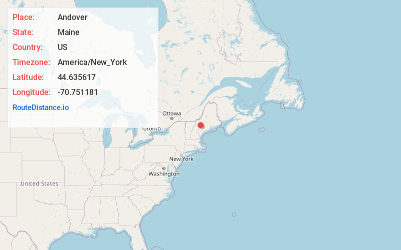
Full AddressAndover, ME
-
Coordinates44.6356166, -70.7511813
-
LocationAndover , Maine , US
-
TimezoneAmerica/New_York
-
Current Local Time5:13:54 PM America/New_YorkTuesday, June 17, 2025
-
Page Views0
About Andover
Andover is a town in Oxford County, Maine, United States. The population was 752 at the 2020 census. Set among mountains and crossed by the Appalachian Trail, Andover is home to the Lovejoy Covered Bridge and is the site of the Andover Earth Station.


Nearby Places
Found 10 places within 50 miles

Rumford
11.4 mi
18.3 km
Rumford, ME 04276
Get directions

Mexico
11.6 mi
18.7 km
Mexico, ME
Get directions

Carthage
14.8 mi
23.8 km
Carthage, ME
Get directions

Bethel
16.1 mi
25.9 km
Bethel, ME
Get directions

Dixfield
16.2 mi
26.1 km
Dixfield, ME 04224
Get directions

Woodstock
18.3 mi
29.5 km
Woodstock, ME 04219
Get directions

Peru
19.2 mi
30.9 km
Peru, ME
Get directions

Milan
21.8 mi
35.1 km
Milan, NH 03588
Get directions

Sumner
22.8 mi
36.7 km
Sumner, ME
Get directions

West Paris
23.2 mi
37.3 km
West Paris, ME 04289
Get directions
Location Links
Local Weather
Weather Information
Coming soon!
Location Map
Static map view of Andover, Maine
Browse Places by Distance
Places within specific distances from Andover
Short Distances
Long Distances
Click any distance to see all places within that range from Andover. Distances shown in miles (1 mile ≈ 1.61 kilometers).