Distance to Andree, Minnesota

Calculating Your Route
Just a moment while we process your request...
Location Information
-
Full AddressAndree, MN 55006
-
Coordinates45.72833, -93.2236099
-
LocationAndree , Minnesota , US
-
TimezoneAmerica/Chicago
-
Current Local Time5:20:27 AM America/ChicagoThursday, June 19, 2025
-
Page Views0
About Andree
Andree is an unincorporated community in Stanchfield Township, Isanti County, Minnesota, United States.
Isanti County Road 4 and State Highway 65 are two of the main routes in the community.
Nearby places include Braham, Stanchfield, Coin, Brunswick, and Rice Creek Wildlife Management Area.
Nearby Places
Found 10 places within 50 miles

Braham
2.6 mi
4.2 km
Braham, MN 55006
Get directions

Coin
4.0 mi
6.4 km
Coin, MN 55006
Get directions
Stanchfield
4.3 mi
6.9 km
Stanchfield, MN 55080
Get directions
Elm Park
4.5 mi
7.2 km
Elm Park, MN 55080
Get directions

Grasston
5.8 mi
9.3 km
Grasston, MN
Get directions

Grandy
6.3 mi
10.1 km
Grandy, MN
Get directions
Lewis Lake
7.5 mi
12.1 km
Lewis Lake, MN 55051
Get directions
Rush Point
7.5 mi
12.1 km
Rush Point, MN 55080
Get directions
Greely
7.6 mi
12.2 km
Greely, MN 55006
Get directions

Day
7.6 mi
12.2 km
Day, MN 55006
Get directions
Location Links
Local Weather
Weather Information
Coming soon!
Location Map
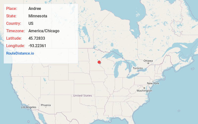
Static map view of Andree, Minnesota
Browse Places by Distance
Places within specific distances from Andree
Short Distances
Long Distances
Click any distance to see all places within that range from Andree. Distances shown in miles (1 mile ≈ 1.61 kilometers).