Distance to Andrew, Iowa

Calculating Your Route
Just a moment while we process your request...
Location Information
-
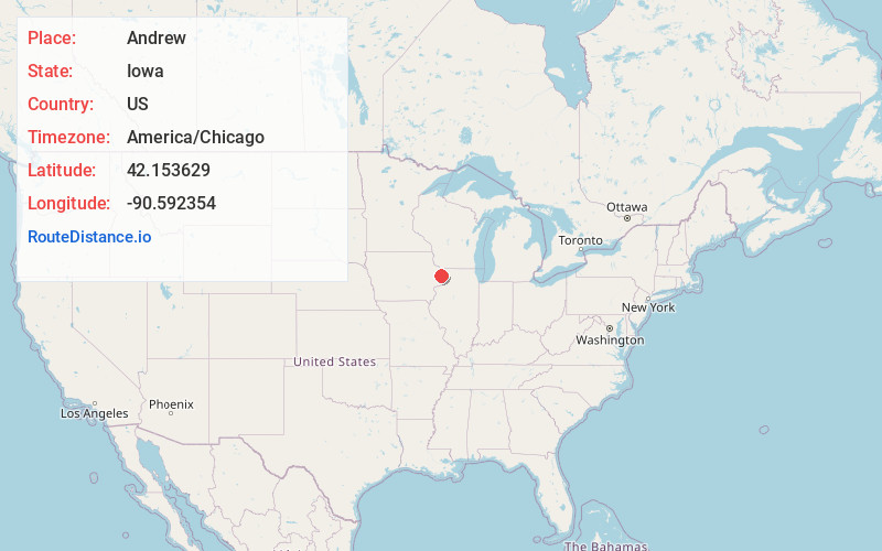
Full AddressAndrew, IA 52060
-
Coordinates42.1536292, -90.5923542
-
LocationAndrew , Iowa , US
-
TimezoneAmerica/Chicago
-
Current Local Time8:40:24 AM America/ChicagoFriday, June 20, 2025
-
Page Views0
About Andrew
Andrew is a town in central Jackson County, Iowa, United States. The population was 380 at the 2020 census.
Nearby Places
Found 10 places within 50 miles

Maquoketa
7.0 mi
11.3 km
Maquoketa, IA
Get directions

Delmar
10.5 mi
16.9 km
Delmar, IA
Get directions

Bellevue
11.2 mi
18.0 km
Bellevue, IA 52031
Get directions

Preston
12.3 mi
19.8 km
Preston, IA 52069
Get directions
Charlotte
14.9 mi
24.0 km
Charlotte, IA 52731
Get directions

Lost Nation
17.5 mi
28.2 km
Lost Nation, IA 52254
Get directions

Hanover
17.6 mi
28.3 km
Hanover, IL 61041
Get directions

Galena
20.0 mi
32.2 km
Galena, IL 61036
Get directions

Oxford Junction
22.1 mi
35.6 km
Oxford Junction, IA 52323
Get directions

Elizabeth
22.1 mi
35.6 km
Elizabeth, IL 61028
Get directions
Location Links
Local Weather
Weather Information
Coming soon!
Location Map
Static map view of Andrew, Iowa
Browse Places by Distance
Places within specific distances from Andrew
Short Distances
Long Distances
Click any distance to see all places within that range from Andrew. Distances shown in miles (1 mile ≈ 1.61 kilometers).