Distance to Andrews, Oregon

Calculating Your Route
Just a moment while we process your request...
Location Information
-
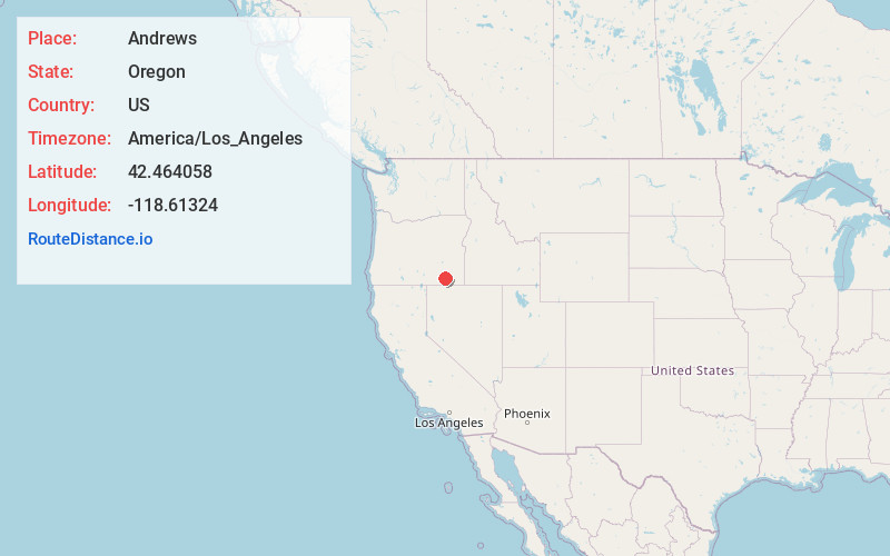
Full AddressAndrews, OR 97721
-
Coordinates42.4640583, -118.6132397
-
LocationAndrews , Oregon , US
-
TimezoneAmerica/Los_Angeles
-
Current Local Time2:21:07 AM America/Los_AngelesWednesday, June 18, 2025
-
Page Views0
About Andrews
Andrews is a ghost town in Harney County, Oregon, United States. It is located south of Steens Mountain and near the Alvord Desert.
Nearby Places
Found 2 places within 50 miles


Location Links
Local Weather
Weather Information
Coming soon!
Location Map
Static map view of Andrews, Oregon
Browse Places by Distance
Places within specific distances from Andrews
Short Distances
Long Distances
Click any distance to see all places within that range from Andrews. Distances shown in miles (1 mile ≈ 1.61 kilometers).