Distance to Andrews, Iowa

Calculating Your Route
Just a moment while we process your request...
Location Information
-
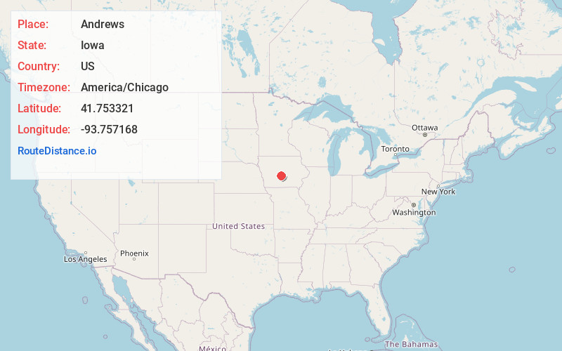
Full AddressAndrews, IA 50109
-
Coordinates41.7533209, -93.7571679
-
LocationAndrews , Iowa , US
-
TimezoneAmerica/Chicago
-
Current Local Time3:09:17 PM America/ChicagoWednesday, June 25, 2025
-
Page Views0
Nearby Places
Found 10 places within 50 miles
Polk City
2.6 mi
4.2 km
Polk City, IA 50226
Get directions

Granger
3.5 mi
5.6 km
Granger, IA 50109
Get directions

Grimes
4.8 mi
7.7 km
Grimes, IA
Get directions

Johnston
6.3 mi
10.1 km
Johnston, IA
Get directions

Ankeny
8.2 mi
13.2 km
Ankeny, IA
Get directions

Sheldahl
8.3 mi
13.4 km
Sheldahl, IA
Get directions

Saylorville
8.4 mi
13.5 km
Saylorville, IA
Get directions

Urbandale
8.6 mi
13.8 km
Urbandale, IA
Get directions

Alleman
8.8 mi
14.2 km
Alleman, IA
Get directions

Madrid
9.1 mi
14.6 km
Madrid, IA 50156
Get directions
Location Links
Local Weather
Weather Information
Coming soon!
Location Map
Static map view of Andrews, Iowa
Browse Places by Distance
Places within specific distances from Andrews
Short Distances
Long Distances
Click any distance to see all places within that range from Andrews. Distances shown in miles (1 mile ≈ 1.61 kilometers).