Distance to Andrews, South Carolina

Calculating Your Route
Just a moment while we process your request...
Location Information
-
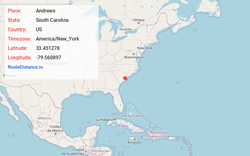
Full AddressAndrews, SC 29510
-
Coordinates33.451278, -79.5608971
-
LocationAndrews , South Carolina , US
-
TimezoneAmerica/New_York
-
Current Local Time8:54:42 AM America/New_YorkTuesday, June 17, 2025
-
Website
-
Page Views0
About Andrews
Andrews is a town in both Georgetown and Williamsburg counties in the U.S. state of South Carolina. Its total population was 2,861 at the 2010 census, down from 3,068 in 2000. General aviation airfield Robert F. Swinnie Airport is 2 miles east of its central business district.


Nearby Places
Found 10 places within 50 miles

Georgetown
16.2 mi
26.1 km
Georgetown, SC 29440
Get directions

Murrells Inlet
30.7 mi
49.4 km
Murrells Inlet, SC 29576
Get directions

Lake City
31.1 mi
50.1 km
Lake City, SC 29560
Get directions

Moncks Corner
31.5 mi
50.7 km
Moncks Corner, SC 29461
Get directions

Garden City
33.3 mi
53.6 km
Garden City, SC
Get directions

Surfside Beach
35.5 mi
57.1 km
Surfside Beach, SC 29575
Get directions

Socastee
36.1 mi
58.1 km
Socastee, SC
Get directions

Forestbrook
39.4 mi
63.4 km
Forestbrook, SC
Get directions

Conway
39.7 mi
63.9 km
Conway, SC
Get directions
Red Hill
40.3 mi
64.9 km
Red Hill, SC
Get directions
Location Links
Local Weather
Weather Information
Coming soon!
Location Map
Static map view of Andrews, South Carolina
Browse Places by Distance
Places within specific distances from Andrews
Short Distances
Long Distances
Click any distance to see all places within that range from Andrews. Distances shown in miles (1 mile ≈ 1.61 kilometers).