Distance to and from Angel Fire, New Mexico
Angel Fire, NM
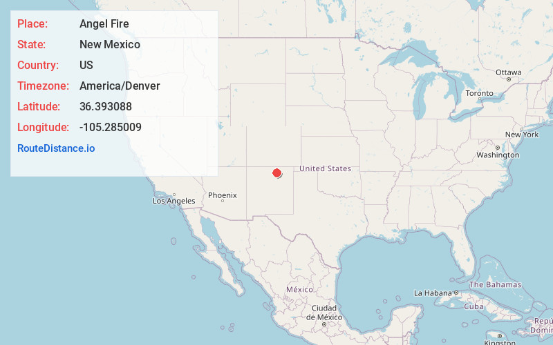
Angel Fire
New Mexico
US
America/Denver
Location Information
-
Full AddressAngel Fire, NM
-
Coordinates36.3930879, -105.2850091
-
LocationAngel Fire , New Mexico , US
-
TimezoneAmerica/Denver
-
Current Local Time11:42:16 AM America/DenverSaturday, May 3, 2025
-
Website
-
Page Views0
Directions to Nearest Cities
About Angel Fire
Angel Fire is a village in the Rocky Mountains of New Mexico. It’s home to Angel Fire Resort, with ski slopes and terrain parks, plus a summer mountain-bike park and zip line. The Enchanted Circle Scenic Byway passes the Vietnam Veterans Memorial State Park, which is home to the Vietnam Veterans Peace and Brotherhood Chapel. Farther north, Eagle Nest Lake is ringed by mountains and is stocked with salmon and trout.


Nearby Places
Found 7 places within 50 miles

Taos Pueblo
14.8 mi
23.8 km
Taos Pueblo, NM
Get directions

Arroyo Seco
18.0 mi
29.0 km
Arroyo Seco, NM
Get directions

Ranchos De Taos
18.2 mi
29.3 km
Ranchos De Taos, NM
Get directions

Black Rock Hot Springs
25.6 mi
41.2 km
Black Rock Hot Springs, New Mexico 87529
Get directions

Chimayo
45.7 mi
73.5 km
Chimayo, NM
Get directions

La Puebla
48.5 mi
78.1 km
La Puebla, NM
Get directions

Ohkay Owingeh
49.7 mi
80.0 km
Ohkay Owingeh, NM
Get directions
Taos Pueblo
14.8 mi
23.8 km
Taos Pueblo, NM
Arroyo Seco
18.0 mi
29.0 km
Arroyo Seco, NM
Ranchos De Taos
18.2 mi
29.3 km
Ranchos De Taos, NM
Black Rock Hot Springs
25.6 mi
41.2 km
Black Rock Hot Springs, New Mexico 87529
Chimayo
45.7 mi
73.5 km
Chimayo, NM
La Puebla
48.5 mi
78.1 km
La Puebla, NM
Ohkay Owingeh
49.7 mi
80.0 km
Ohkay Owingeh, NM
Location Links
Local Weather
Weather Information
Coming soon!
Location Map
Static map view of Angel Fire, New Mexico
Browse Places by Distance
Places within specific distances from Angel Fire
Short Distances
Long Distances
Click any distance to see all places within that range from Angel Fire. Distances shown in miles (1 mile ≈ 1.61 kilometers).