Distance to and from Angelus, Kansas
Angelus, KS 67748
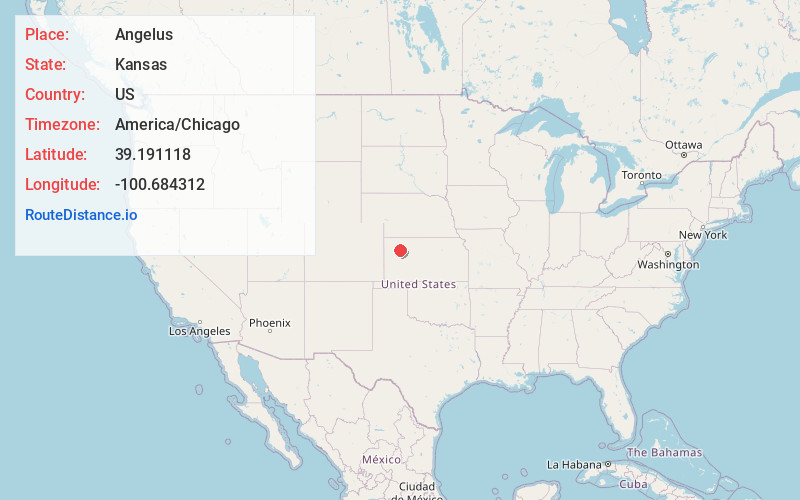
Angelus
Kansas
US
America/Chicago
Location Information
-
Full AddressAngelus, KS 67748
-
Coordinates39.1911181, -100.6843115
-
LocationAngelus , Kansas , US
-
TimezoneAmerica/Chicago
-
Current Local Time4:02:52 PM America/ChicagoSaturday, May 3, 2025
-
Page Views0
Directions to Nearest Cities
About Angelus
Angelus is an unincorporated community in Sheridan County, Kansas, United States. It is located in Solomon Township, approximately 20 miles southwest of Hoxie. Also, it is located northwest of Grinnell and Interstate 70.
Nearby Places
Found 10 places within 50 miles

Grinnell
5.3 mi
8.5 km
Grinnell, KS 67738
Get directions

Oakley
9.8 mi
15.8 km
Oakley, KS 67748
Get directions

Menlo
11.6 mi
18.7 km
Menlo, KS 67753
Get directions

Grainfield
12.9 mi
20.8 km
Grainfield, KS 67737
Get directions
Halford
16.0 mi
25.7 km
Halford, North Randall Township, KS 67701
Get directions

Hoxie
17.3 mi
27.8 km
Hoxie, KS 67740
Get directions

Park
18.3 mi
29.5 km
Park, KS 67751
Get directions

Monument
18.3 mi
29.5 km
Monument, KS
Get directions

Gove City
19.2 mi
30.9 km
Gove City, KS 67736
Get directions
Breton
19.3 mi
31.1 km
Breton, Smith Township, KS 67753
Get directions
Grinnell
5.3 mi
8.5 km
Grinnell, KS 67738
Oakley
9.8 mi
15.8 km
Oakley, KS 67748
Menlo
11.6 mi
18.7 km
Menlo, KS 67753
Grainfield
12.9 mi
20.8 km
Grainfield, KS 67737
Halford
16.0 mi
25.7 km
Halford, North Randall Township, KS 67701
Hoxie
17.3 mi
27.8 km
Hoxie, KS 67740
Park
18.3 mi
29.5 km
Park, KS 67751
Monument
18.3 mi
29.5 km
Monument, KS
Gove City
19.2 mi
30.9 km
Gove City, KS 67736
Breton
19.3 mi
31.1 km
Breton, Smith Township, KS 67753
Location Links
Local Weather
Weather Information
Coming soon!
Location Map
Static map view of Angelus, Kansas
Browse Places by Distance
Places within specific distances from Angelus
Short Distances
Long Distances
Click any distance to see all places within that range from Angelus. Distances shown in miles (1 mile ≈ 1.61 kilometers).